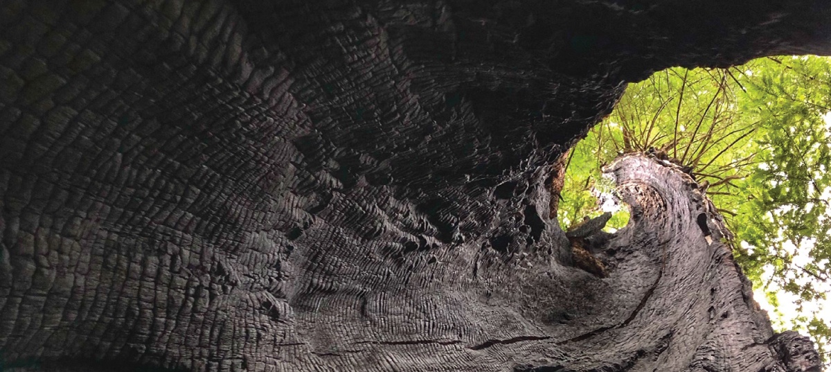
Big Trees of the Freshwater Creek Drainage, Humboldt County
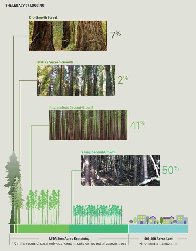
Old-growth forests are forests that have developed over long periods of time, without experiencing severe, stand-replacing disturbance—a fire, windstorm, or logging. Within the redwood forest belt, of the estimated 1.6 million acres of redwood forest remaining, only 7% is old growth. The remaining 93% is considered some level of second growth. Around Humboldt Bay where we live that number is approaching 99%. The old-growth trees that do remain are often mixed within the second growth forests. Most often, an old tree was left behind by loggers because of imperfections like broken tops or less than optimal heartwood. This post explores some of the residual old growth in my neighborhood.
Continue reading “Residual Old Growth”