Santa Rosa Island
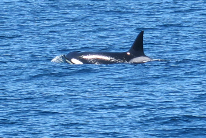
After a two hour boat ride from Ventura Harbor that included sightings of gray and killer whales, passengers disembarked onto a newly-built pier and subjacent white sand beaches. We had arrived. Once unloaded, the park ranger offered an orientation rejoicing in our good fortunes. The high winds and thick fog which had typified the previous few weeks had now subsided. The forecast for the coming days included sun, low winds, and perfect temperatures.
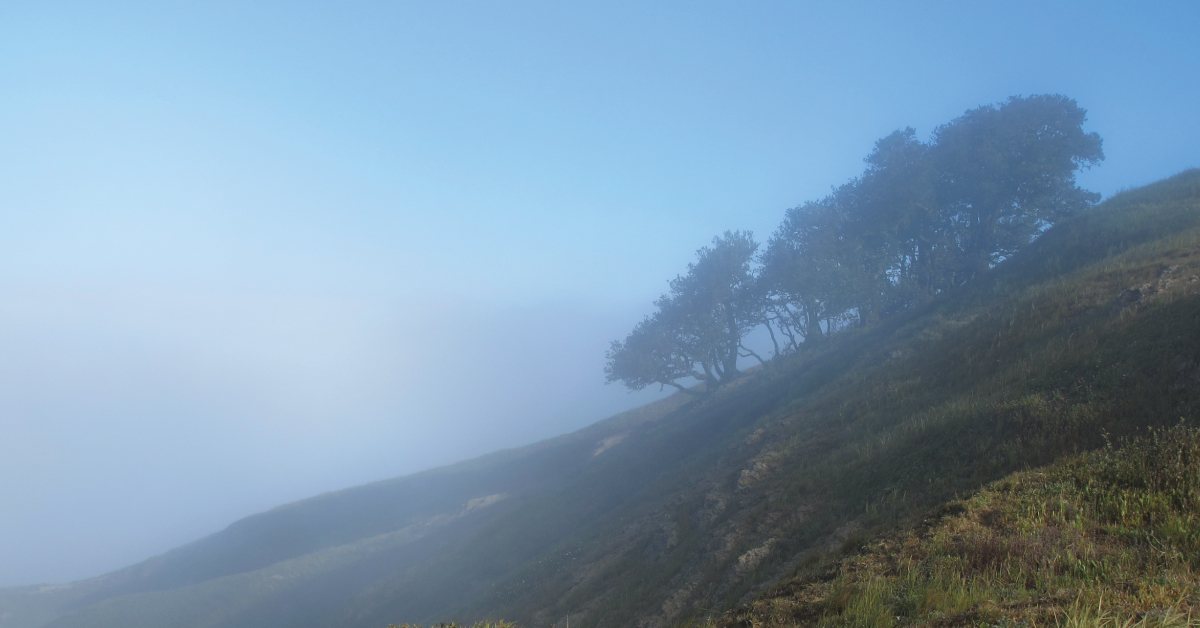
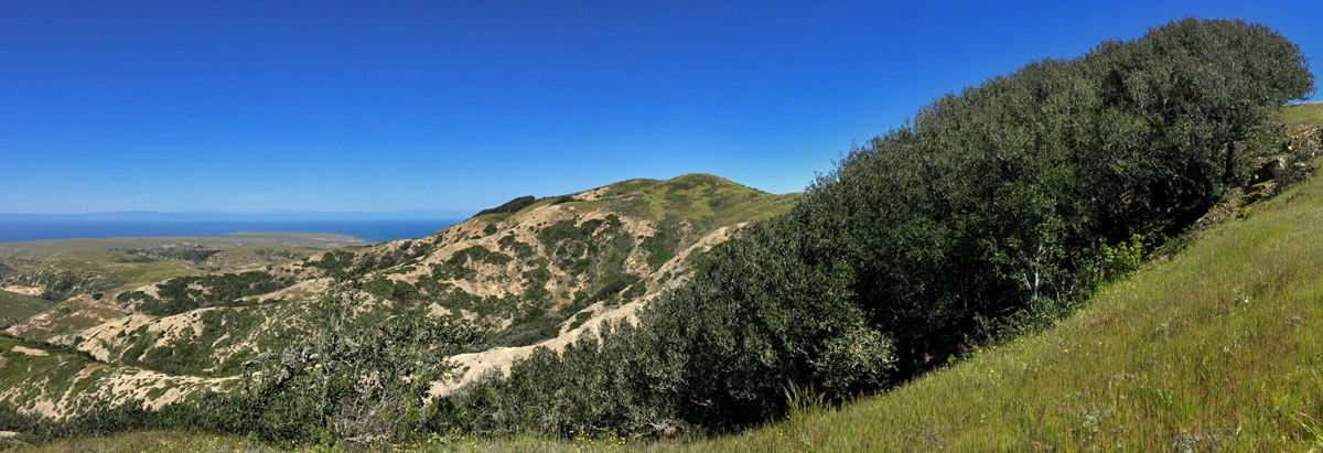
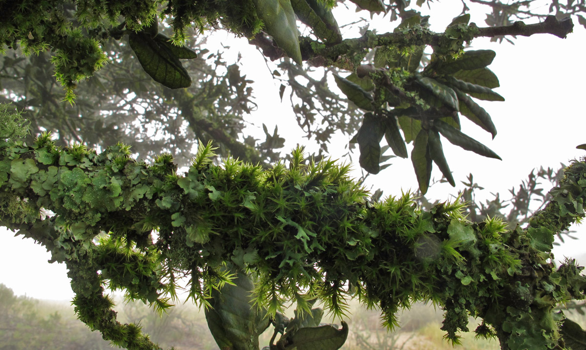
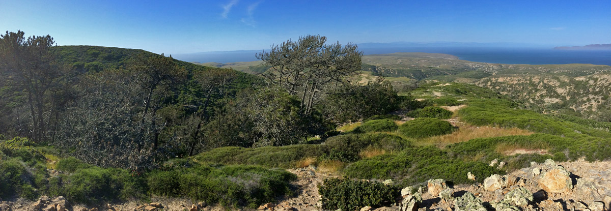
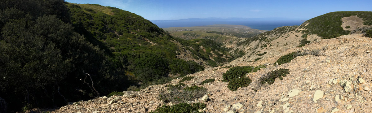
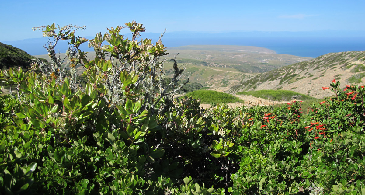
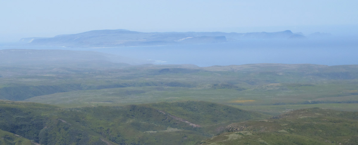
Fog and wind are omnipresent on Santa Rosa Island and play a major role in shaping the landscape. Any plants with a propensity for upward growth are restricted to canyons, particularly north sloping ones. Here they find refuge from the wind and often more available moisture provided by the meager 15-20 inches of annual rain. However near the highest island peaks–like Black Mountain at 1,300 feet plants have adapted to wind and fog in different ways.
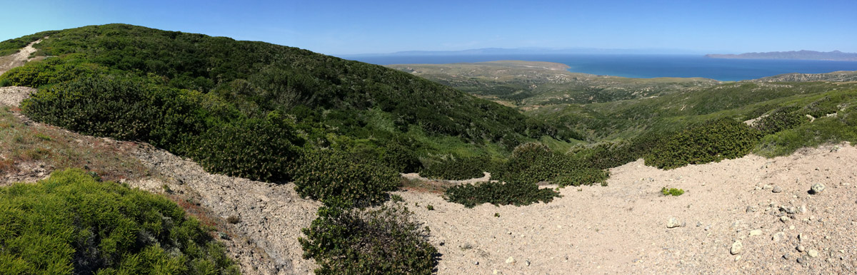
Cloud forests, also referred to as fog forests, are generally tropical or subtropical in location and characterized by persistent cloud cover. On Santa Rosa it is estimated that the fog drip collected by the leaves of plants, particularly the island oak, account for up to three times the moisture received from rain storms. So if the average precipitation in the surrounding grassland is 15 inches a year, the cloud forests collect 60 inches–the quintessential microclimate!
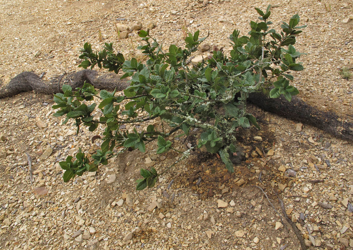
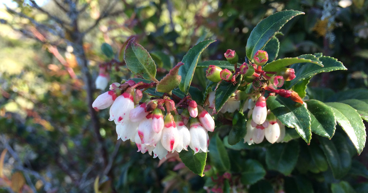
Island oak (Quercus tomentella)
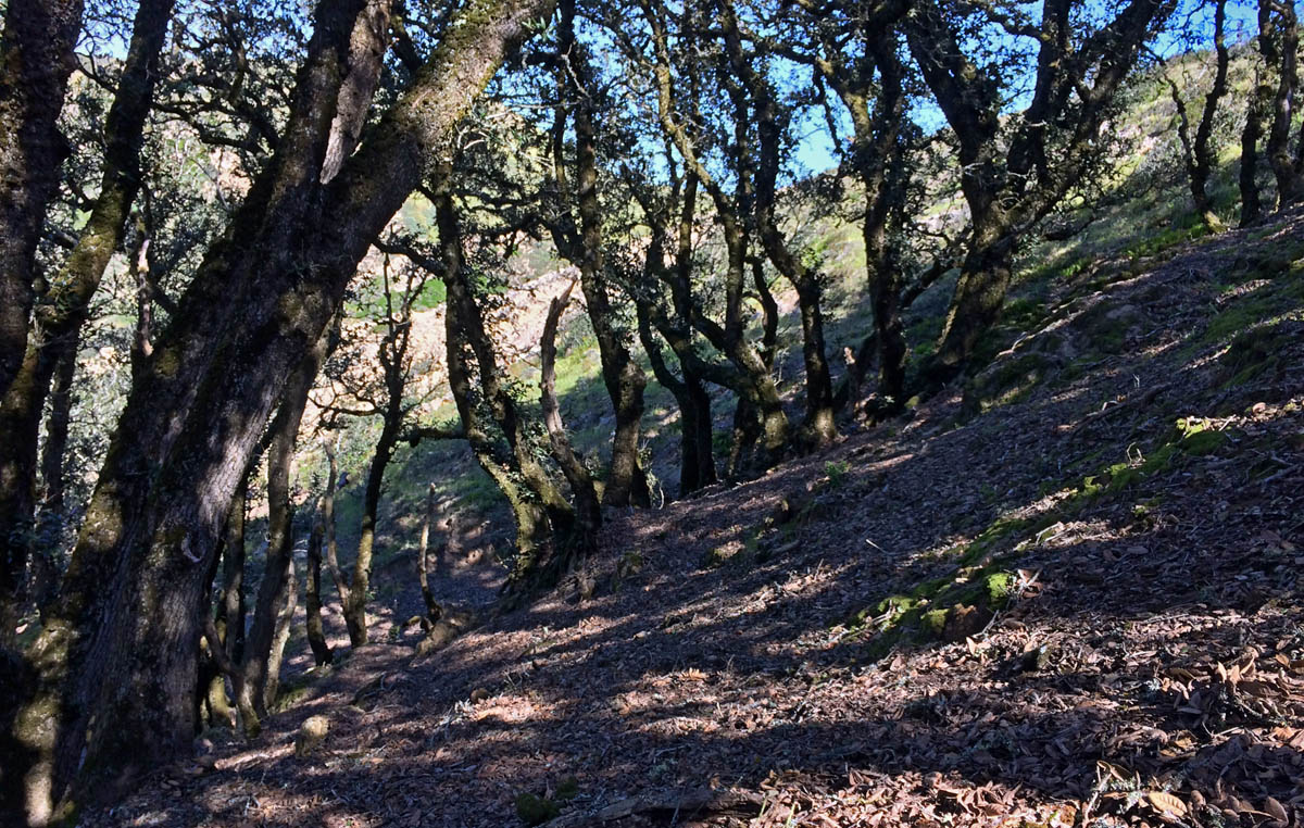
The island oak was not always restricted to the Channel Islands as it is today. Based on fossil records, it is known to have once ranged across Southern California. This relative of the canyon live oak (Q. chrysolepis) now defines the cloud forests of the Channel Islands where it inhabits steep mountain ridges (both north and south slopes) and also creeps toward sea level in north-facing canyons.
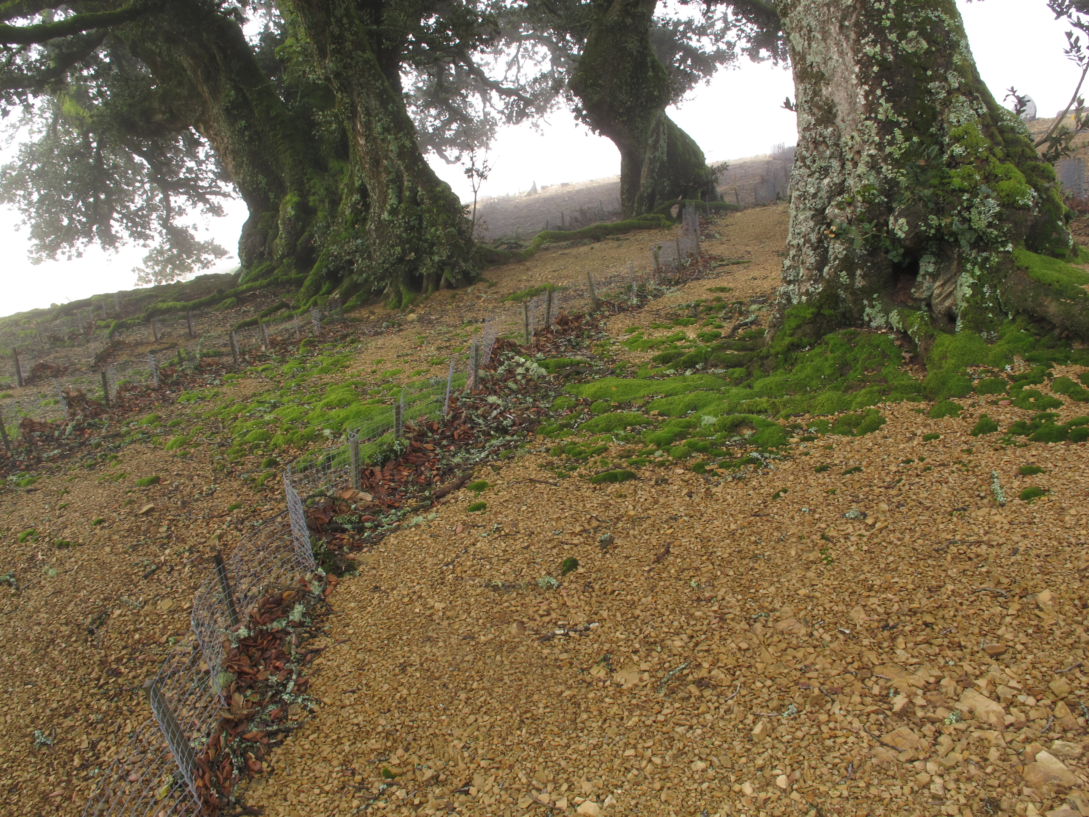
Rehabilitating the cloud forest
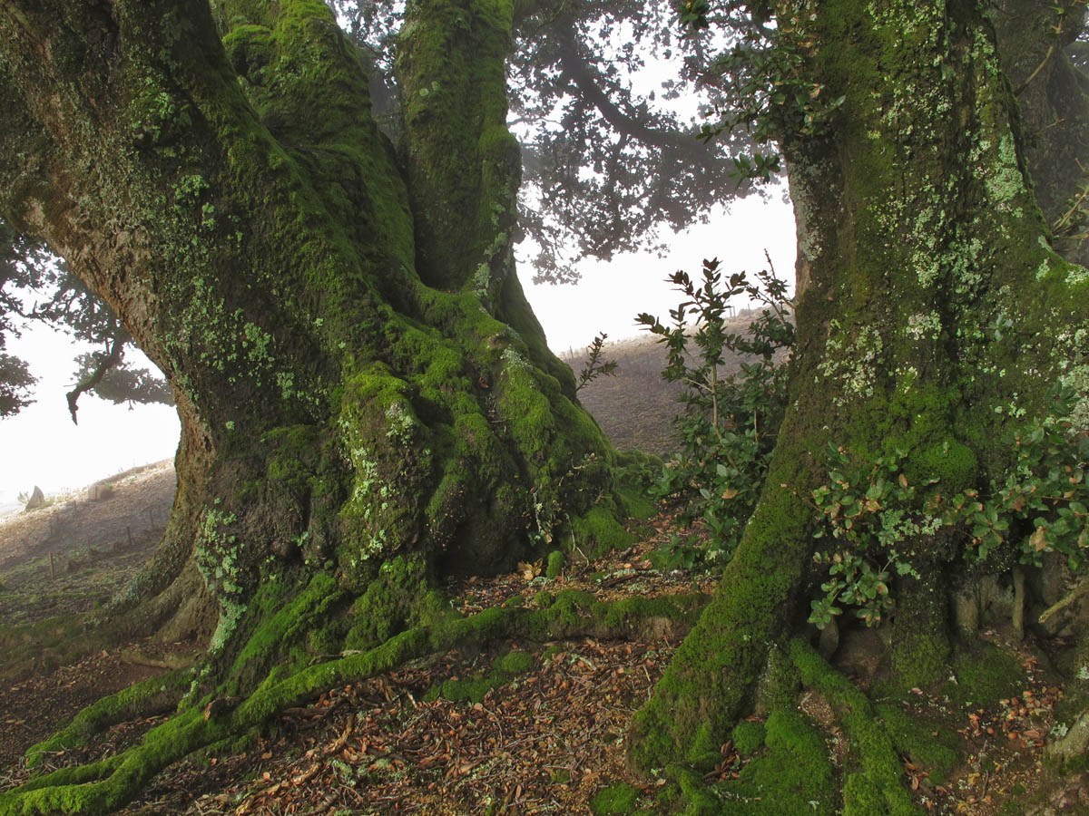
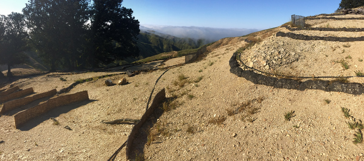
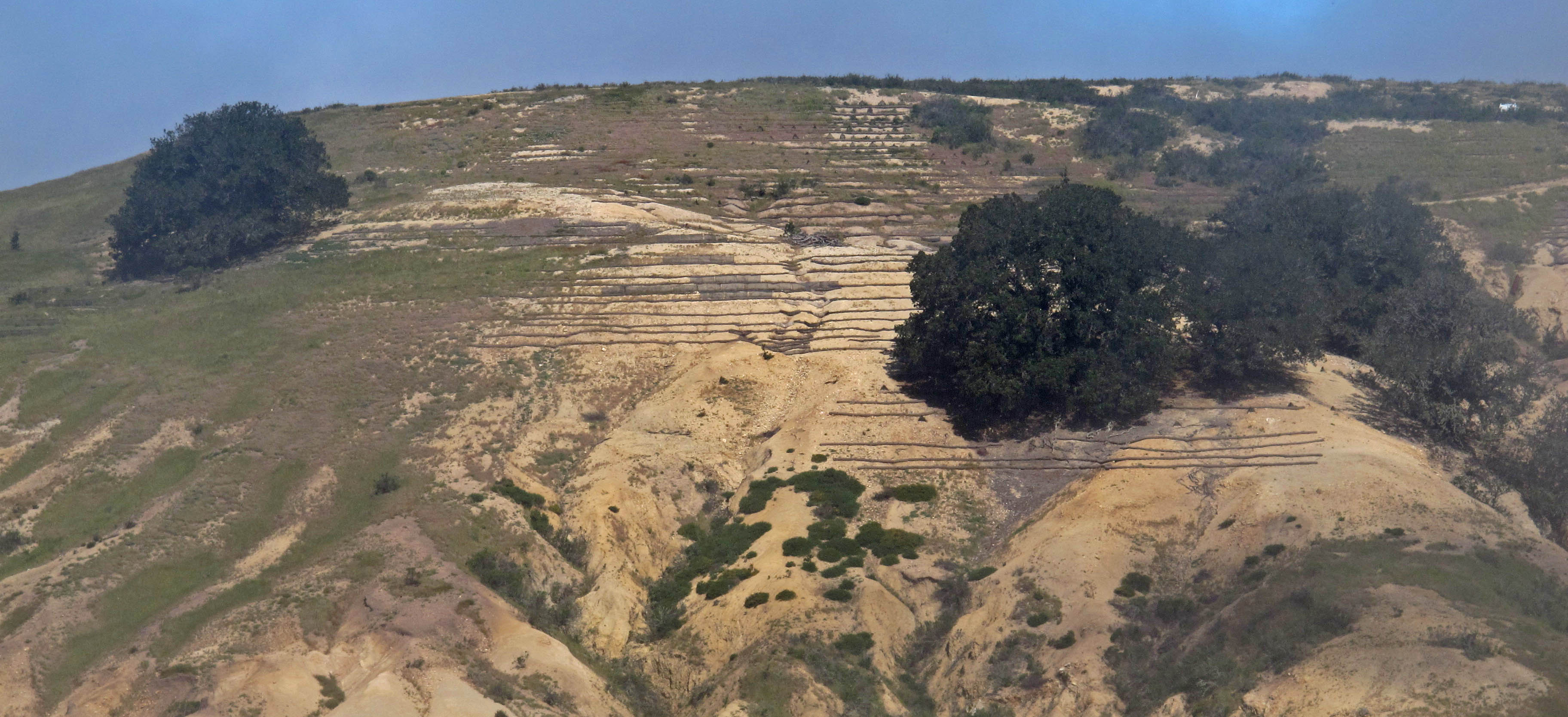
In the early days of California’s history, Santa Rosa was home to the Air Force which included a civilized base on the south shores and a high point with communications towers–built in the heart of a cloud forest. Use and landscape modifications degraded the soil layer and, today, only a few island oaks remain. Kathryn McEachern And Ken Niessen started a project in 2015 to change that.
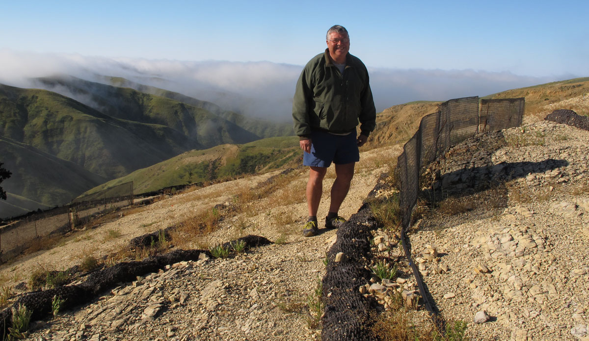
Grant funding has allowed them the take a multi-step approach to rehabilitate both the soil and ultimately the forest. Ken and Kathryn admit this is a long-term project but the goal is to build soil and erosion control with perennial grasses and shrubs. They are using wattles for erosion control and fog nets just above for water collection. In between these two they are planting Stipa diegoensis, Baccharis pilularis, and Quercus pacifica to start the vegetation on the mineral soil. When Quercus tomentella produces an acorn crop (they are hoping this is the year) they will add these acorns into the mix.
- Read more about the work HERE
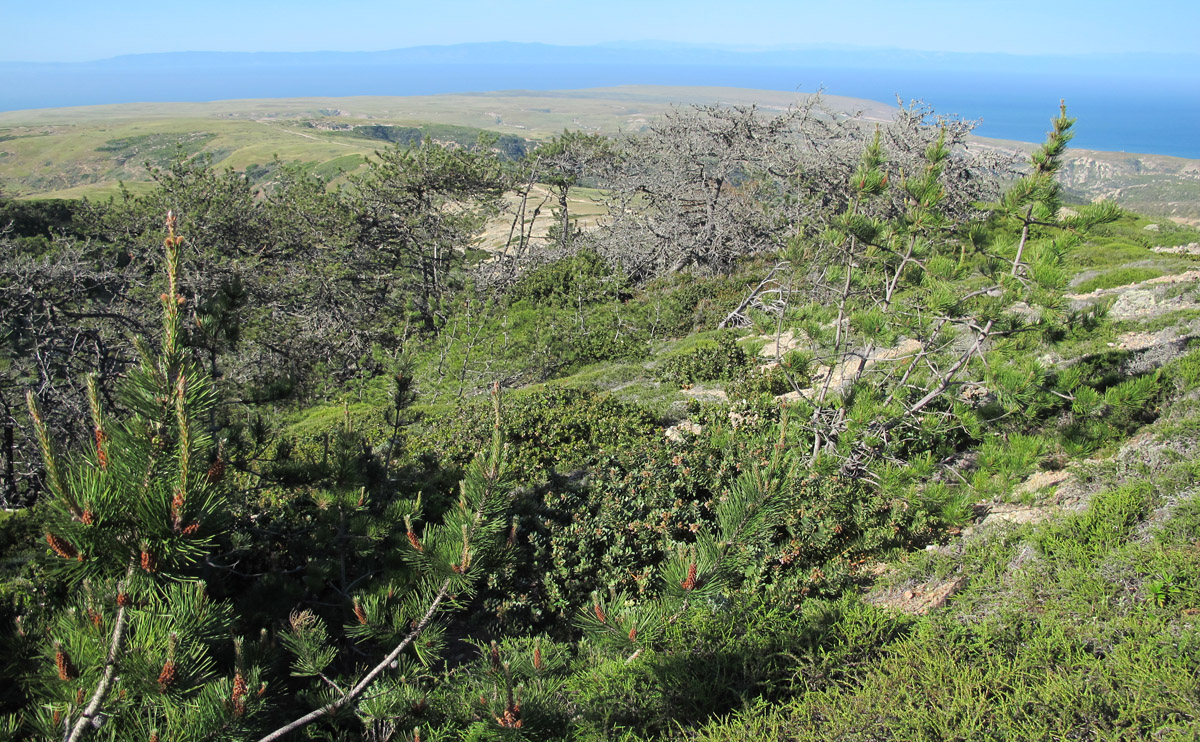
Bishop pine (Pinus muricata)
John Knapp with the Nature Conservancy warned me before the trip that the bishop pines of the Channel Islands were not doing well. I witnessed as much on the north slopes of the cloud forests. Mortality seemed to be around 50 percent, but recruitment was common and many saplings and seedlings were springing up at the edge of the desiccated groves. Mortality in mature trees is presumed to be from a combination of bark beetle infestations and xerification due to climate change. We can only hope that the seedlings continue to thrive.
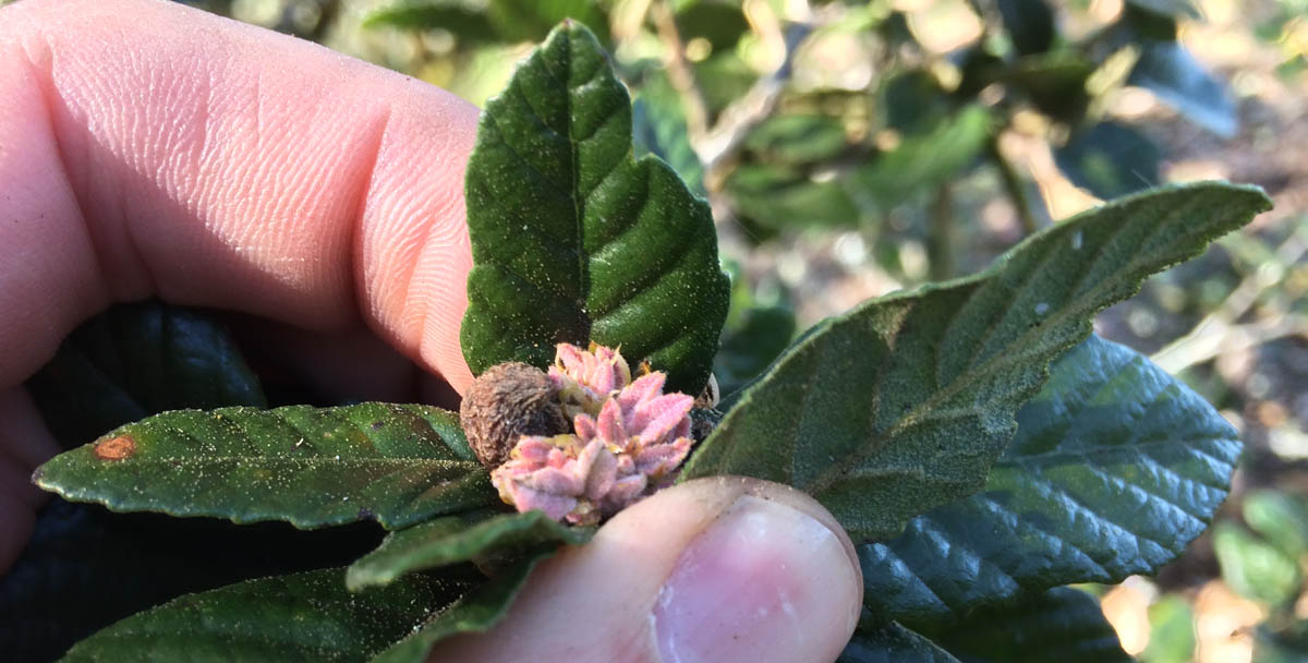
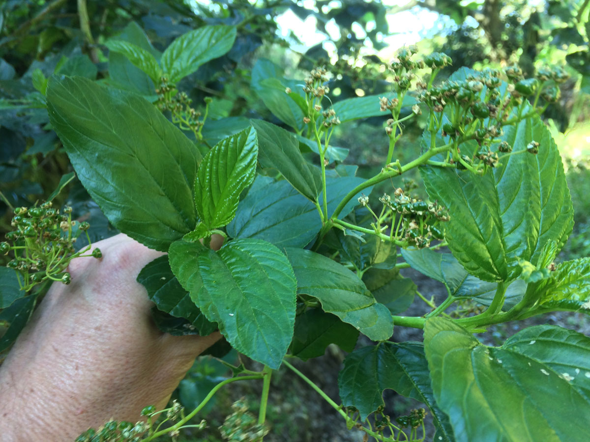
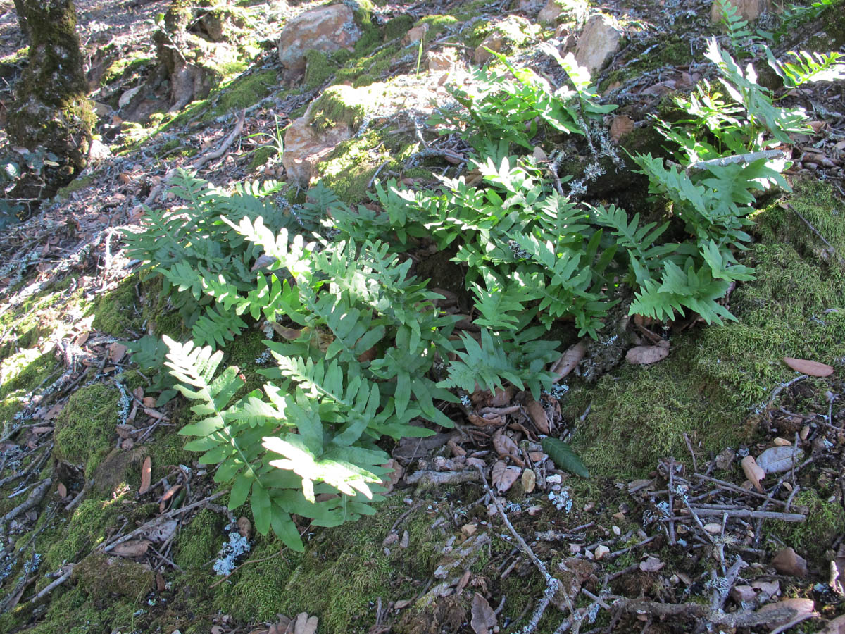
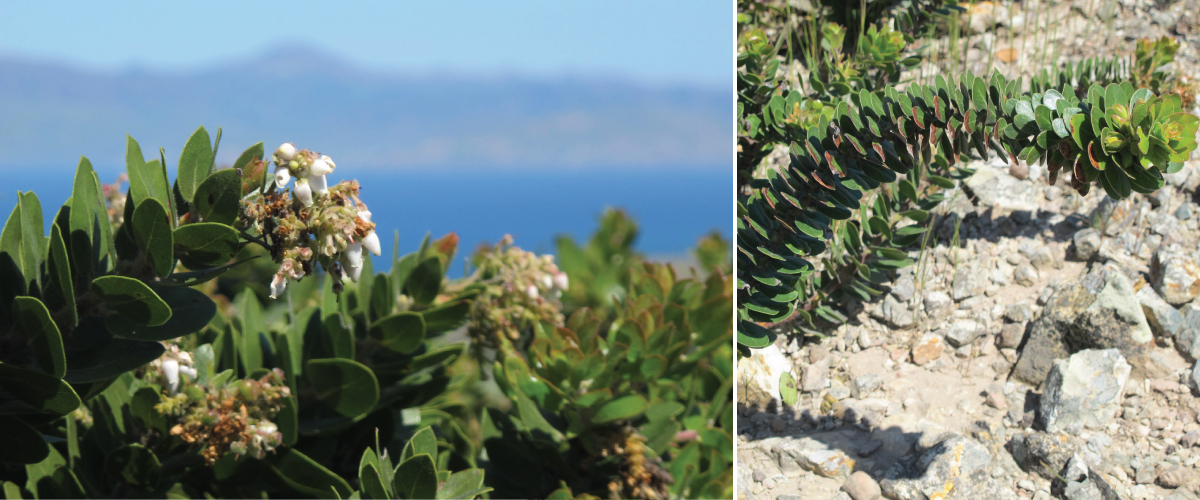
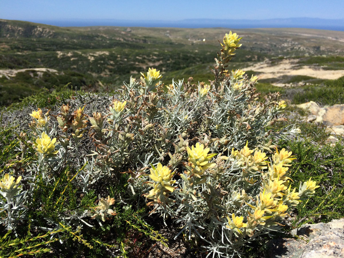
Other cloud forest chaparral species
Thanks Bill, it is fun to write. I appreciate you taking the time to read it too!
Michael, Thanks for a very interesting report about plant adaptations on Santa Rosa. I enjoy reading your informative descriptions of ecological relationships encountered during your excursions around California.
Sad and wonderful.
Thank you for bringing it to us.
At the risk of repeating what I’m sure you’ve heard many times before, you are certainly a gifted educator and storyteller. You make complex ecology seemed almost simple and certainly interesting. And I loved the fog fences. All the photos are great.
Thanks Brian, glad you enjoyed the post!
A native plant gardener and Torrey Pines SNR docent, I’m most appreciative of your articles and photography!