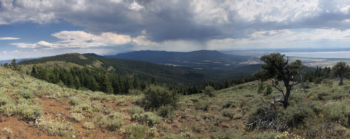
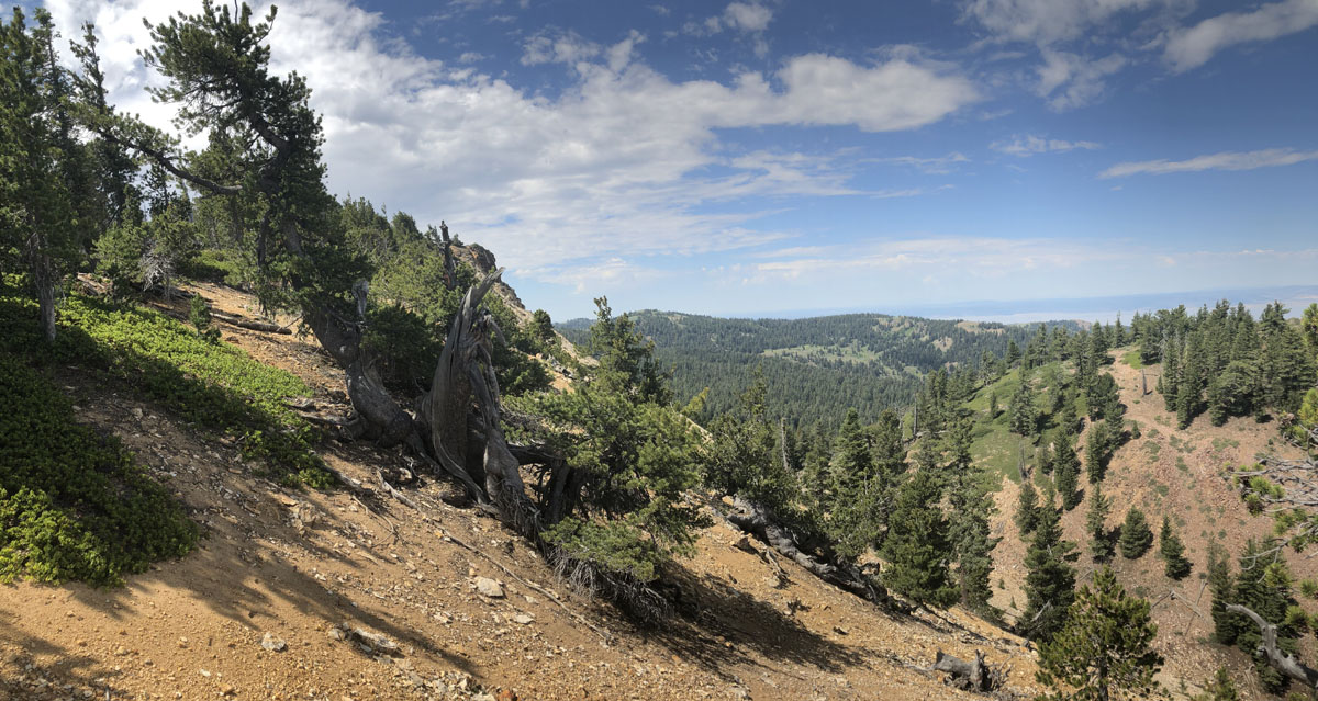
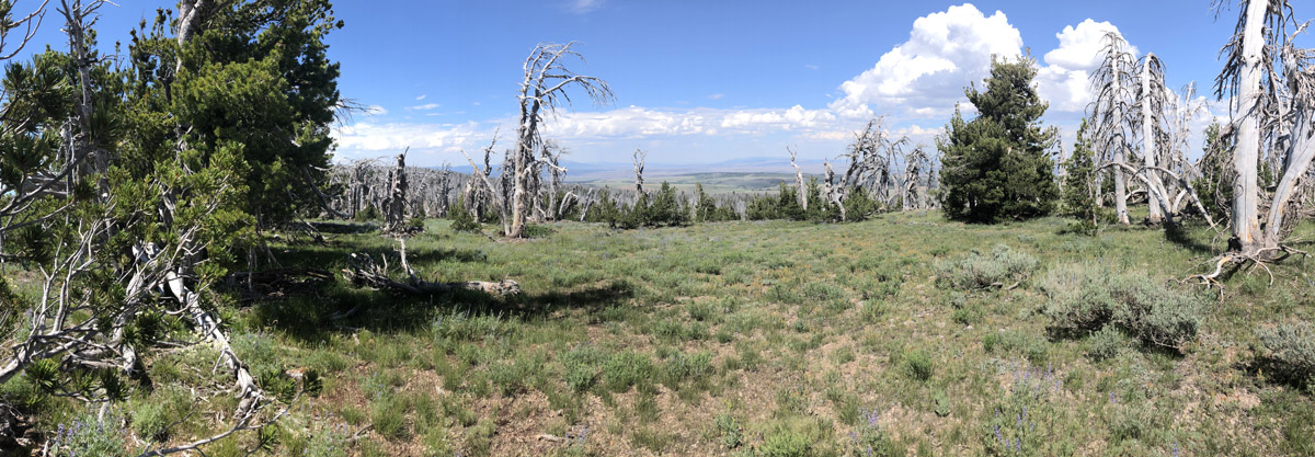
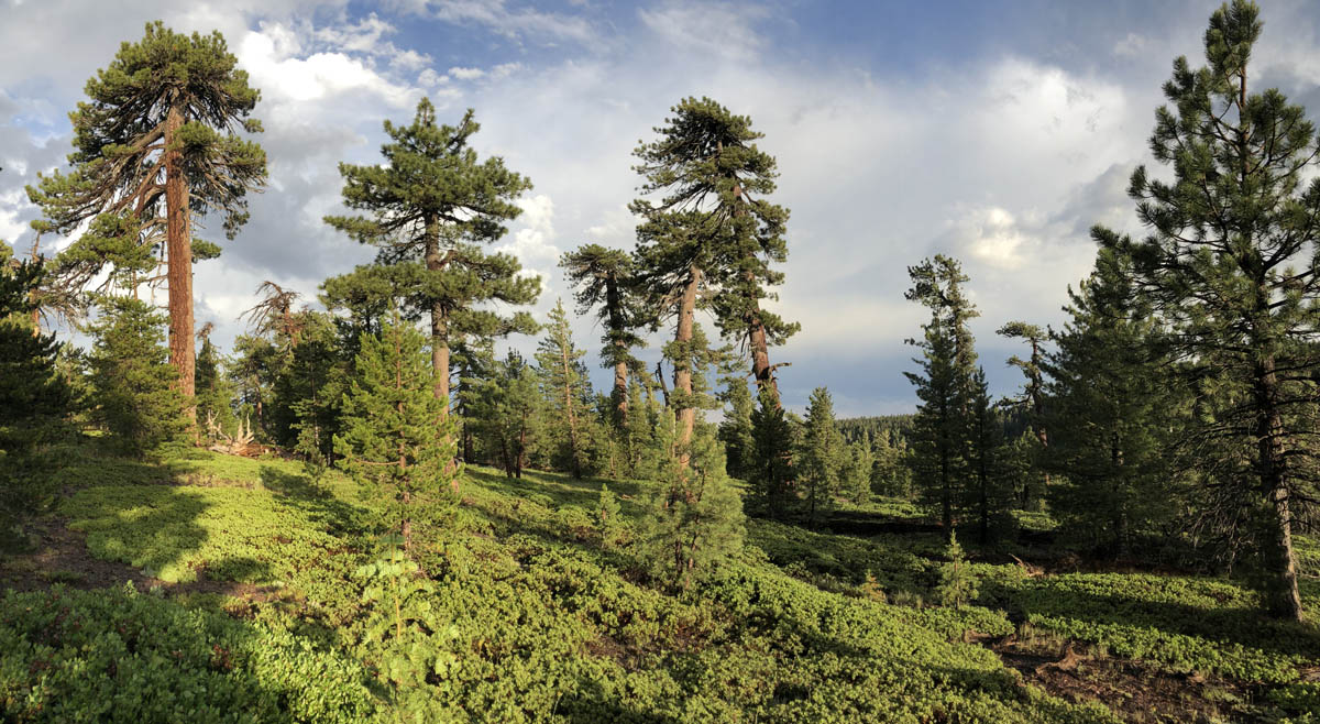
The Warner Mountains are a north-south trending fault block range in the northeastern corner of California, extending northward into Oregon. The length of the range is approximately 90 miles, with the northern California portion bounded by Goose Lake on the west and Surprise Valley on the east. In California, elevations range between 5,000-9,897 feet (on Eagle Peak). In the High Grade district, which is the extreme northern limits of the Warners in California, the range has a fairly even crest of 7500 feet, reaching an elevation of 8290 feet on Mount Bidwell. This is the area where I spent four days mapping and monitoring whitebark pine (Pinus albicaulis) for the US Forest Service.
The geology of the region is complex and compelled me to understand it better. Bedrock consists of sedimentary rocks of the Oligocene overlain by rhyolitic to basaltic volcanic rocks of the Miocene. The basal andesite is overlain by rhyolite and glassy rhyolite, which are in turn overlain by basalt flows. There are valuable minerals and gems found in this area that have justified a long-standing history of mining. Gold was the first and major extracted mineral soon followed by opals, petrified wood, and even obsidian. The range is a complex assemblage of interesting rocks for sure which help sculpt the regional ecology.
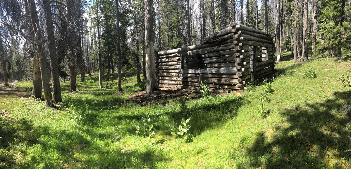
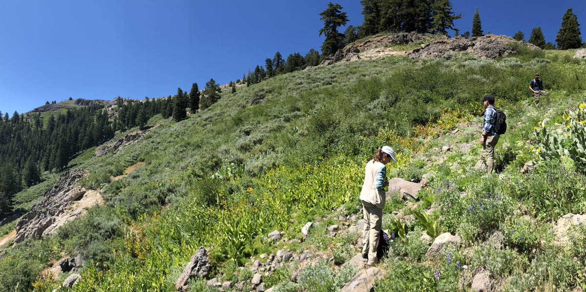
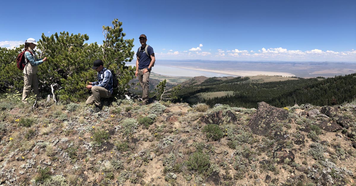
My July 2018 trip is a part of a follow up study to work we started in 2012, supported by the US Forest Service Region 5 in collaboration with the California Native Plant Society (me!). On this trip, I was able to visit sites that I did not in 2012. These were all areas that I predicted to have stands of whitebark pine but that had never been documented. What follows are images and captions from the journey.
A few other highlights:
We camped recently at Burney Falls and thought we’d take a day trip to the obsidian mines but with road work delays it took 2 1/2 hours to get to Juniper Junction. At the store there we were told we still had 2 hours to reach the mountains so we headed south on 139 to Eagle Lake.
It was deserted, not a boat or swimmer anywhere on the 2nd largest lake in California. It seemed like every other house was for sale at the north end of the lake. It was serenely beautiful. I plan on heading for the Warner mountains hopefully this fall.
Wow! Incredible pictures and views, thank you!
Thanks Heather!
Thanks for the pictures. You improved my day. That is the hike I have been dreaming of for about twenty years. I think Fandango Pass next spring. Hope it doesn’t burn up this summer. Darn beetles.
Amazing country and terrific walking — trails or cross country you can’t go wrong!
I would love to go out there! If anyone needs a hiking buddy, contact me through this site…. perhaps. Joan Dunning
Joan- I want to bring the family back out there for some rock hunting and camping in the future. I’ll let you know!