Five-Needle Pines Community Science Project

As a board member of the Whitebark Pine Ecosystem Foundation, I decided to help cook up this project because all is not well with the five-needle pines of western North America.

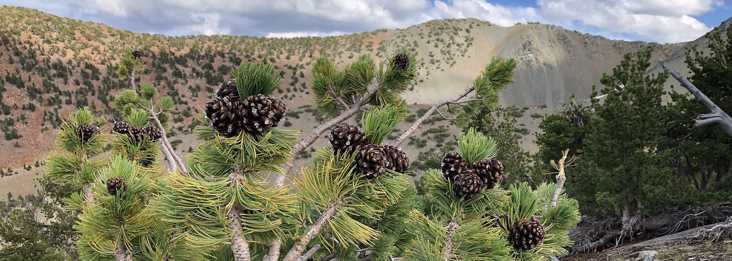
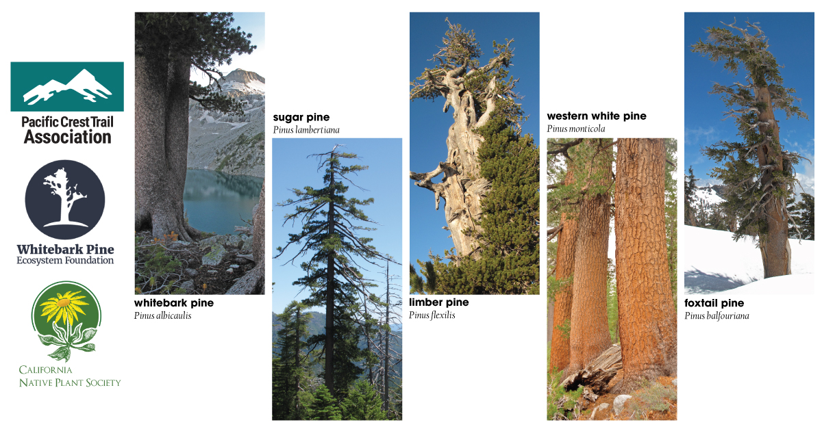
Five-needle pines along the Pacific Crest Trail include the sugar pine, limber pine, foxtail pine, whitebark pine, and western white pine. Crucial to the mountain ecosystems where they occur, these trees face an uncertain future, and scientists are trying to learn more.

You can help and are invited

Whitebark Pine Ecosystem Foundation has partnered with the California Native Plant Society and the Pacific Crest Trail Association to raise awareness about the plight of five-needle pines and conduct this community science project. The goal is to get thru-, section-hikers, and everyone who visits to the trail to map and inventory five-needle pines along the Pacific Crest Trail.

By participating, you will help increase awareness of the changes affecting our world while improving connections to nature. Working together to document what’s happening is a positive step toward recovery.

Continue reading “Five-Needle Pines Community Science Project”
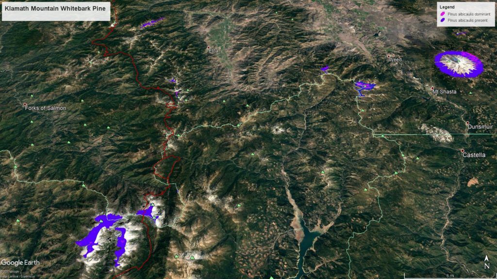
Klamath National Forest Whitebark Pine

Mapping and monitoring Pinus albicaulis

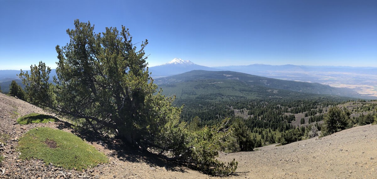
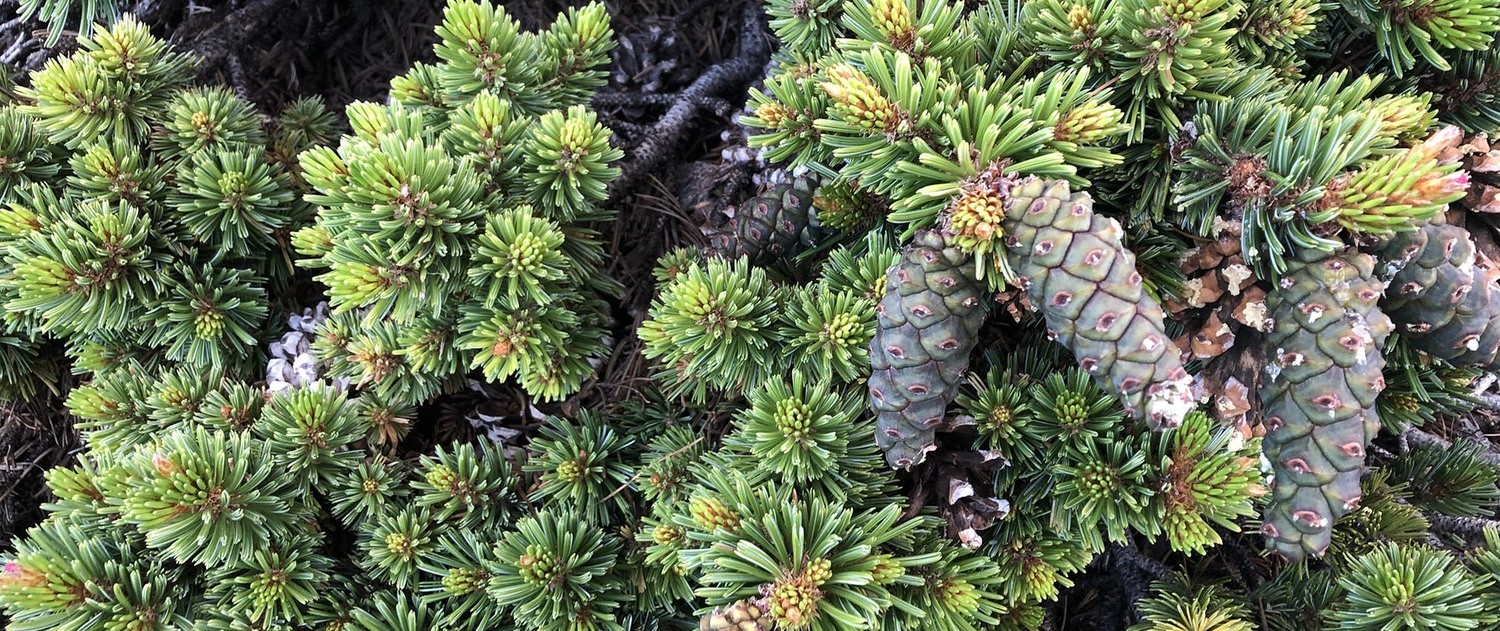
For the better part of July I was contracted by the Forest Service Region 5, in a partnership with the CNPS Vegetation Program, to follow up with our 2013 work mapping and monitoring whitebark pine in the north state. I visited numerous sites where I predicted Pinus albicaulis might occur to conduct surveys and improve our state-wide range map for the species. Overall, the health of the species in northern California is in slow decline due to a variety of factors including mountain pine beetle, white pine blister rust, global climate change, and recent high intensity fires. In an earlier post, I shared some highlights from the Modoc National Forest, this post shares  images and highlights from Klamath National Forest whitebark pine work.

Continue reading “Klamath National Forest Whitebark Pine”

Warner Mountains — whitebark pines and beyond

Warner Mountains
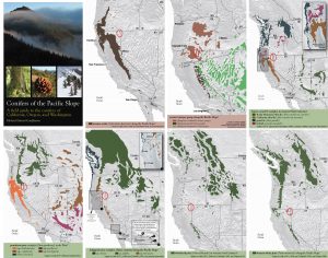
Conifers of the Warner Mountains. Maps from Conifers of the Pacific Slope.

The Warner Mountains are a north-south trending fault block range in the northeastern corner of California, extending northward into Oregon. The length of the range is approximately 90 miles, with the northern California portion bounded by Goose Lake on the west and Surprise Valley on the east. In California, elevations range between 5,000-9,897 feet (on Eagle Peak). In the High Grade district, which is the extreme northern limits of the Warners in California, the range has a fairly even crest of 7500 feet, reaching an elevation of 8290 feet on Mount Bidwell. This is the area where I spent four days mapping and monitoring whitebark pine (Pinus albicaulis) for the US Forest Service.

The geology of the region is complex and compelled me to understand it better. Bedrock consists of sedimentary rocks of the Oligocene overlain by rhyolitic to basaltic volcanic rocks of the Miocene. The basal andesite is overlain by rhyolite and glassy rhyolite, which are in turn overlain by basalt flows. There are valuable minerals and gems found in this area that have justified a long-standing history of mining. Gold was the first and major extracted mineral soon followed by opals, petrified wood, and even obsidian. The range is a complex assemblage of interesting rocks for sure which help sculpt the regional ecology.

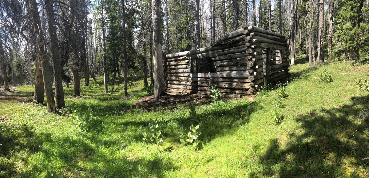
The northern Warner Mountains have a long history of mining.

Continue reading “Warner Mountains — whitebark pines and beyond”

Pine Forest Range

Humboldt County, Nevada

When choosing destinations for exploration, isolation has always been an important element in the algorithm. At this point in my Western explorations I’ve been to most mountain ranges in search of solitude and biological uniqueness. So, when the opportunity arose for a fall trip with some college friends, I keyed in on a mountain range I’d never visited mid-way between Arcata, California and Livingston, Montana—deep within Nevada’s High Rock-Black Rock desert.

The Pine Forest Range archipelago as seen from Bog Hot - near Denio, Nevada.
The Pine Forest Range archipelago as seen from Bog Hot – near Denio, Nevada.

Continue reading “Pine Forest Range”

Ecological Amplitude: A story of climax

Original Publication DATE: 7/15/2011

Box Camp Mountain | Marble Mountain Wilderness

Ecological amplitude is the range of habitats, often dependent on and defined by elevation, within which a certain species has the ability to survive. In the Klamath Mountains there are two species of pines that define the highest elevations–growing at or near the summits of peaks from ~7500′ to 9000′ (The Klamath Mountains get no higher). Foxtail pine (Pinus balfouriana) and whitebark pine (Pinus albicaulis) inhabit our sky islands where they are the crowning jewels of this coniferous wonderland.

IMG_6853
Jeffrey Kane ponders the approach to Box Camp Mountain from the Pacific Crest Trail.

Box Camp Mountain is interesting for several reasons. The first is that its summit is only 7,267′ yet both species of said pines live in this fringe habitat. This is generally on south-facing slopes where lack of competition from firs and hemlocks (which thrive on north-facing slopes) is minimal. When approaching the summit I began to doubt the reports of these pines being here; but in the last few hundred feet they began to appear. Throughout Holocene warming, these two species (and others) have slowly been retreating up  regional mountains. Now, after thousands of years, they have reached their ecological climax on Box Camp–there is no more up on which to grow. This mountain holds the most formidably presumptive story I have attempted to read in a high elevation Klamath landscape–and what I read does not appears to have a happy ending.

Continue reading “Ecological Amplitude: A story of climax”