How Forests Can Help Us Heal a Fractured World
In recent weeks, I had the chance to stand before a full room and share my passion for trees. Their quiet strength, existence across deep time, and role as living elders shape us all–though most don’t know it. What follows grew from that talk—a weaving of science and story, a call to remember what trees have always known: that we belong to the living Earth and to one another.
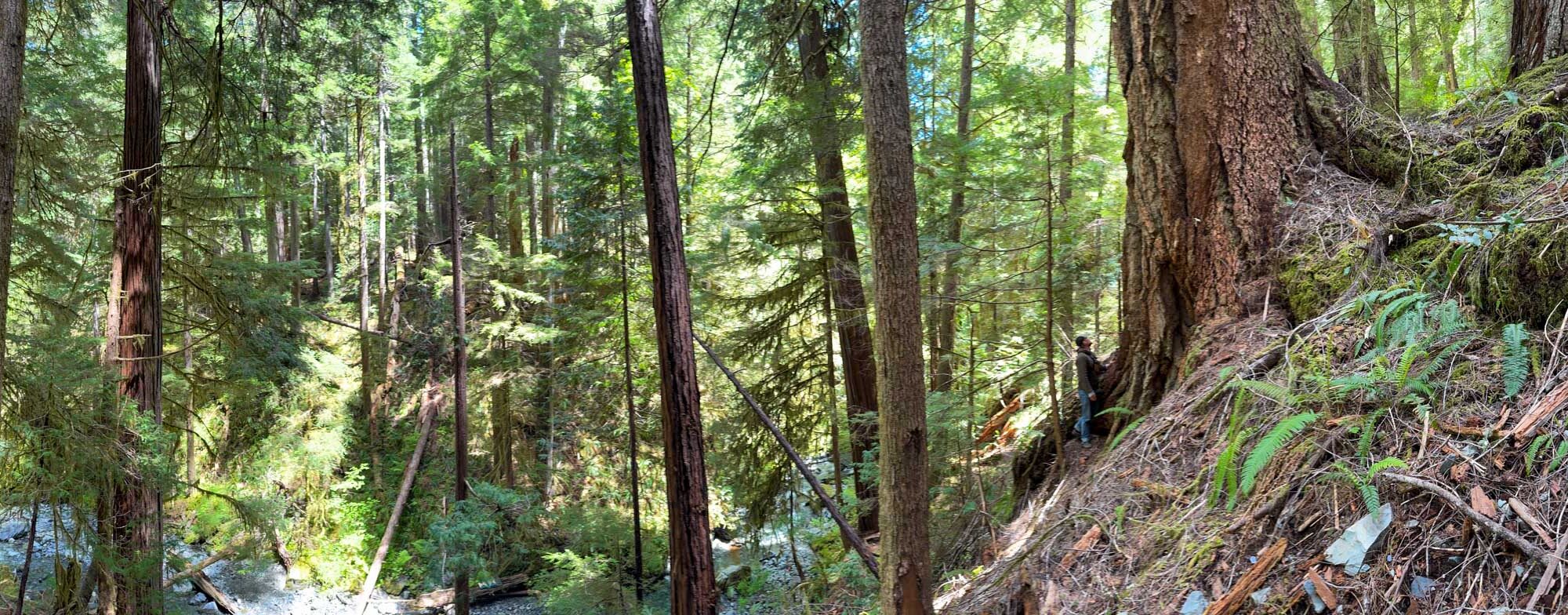
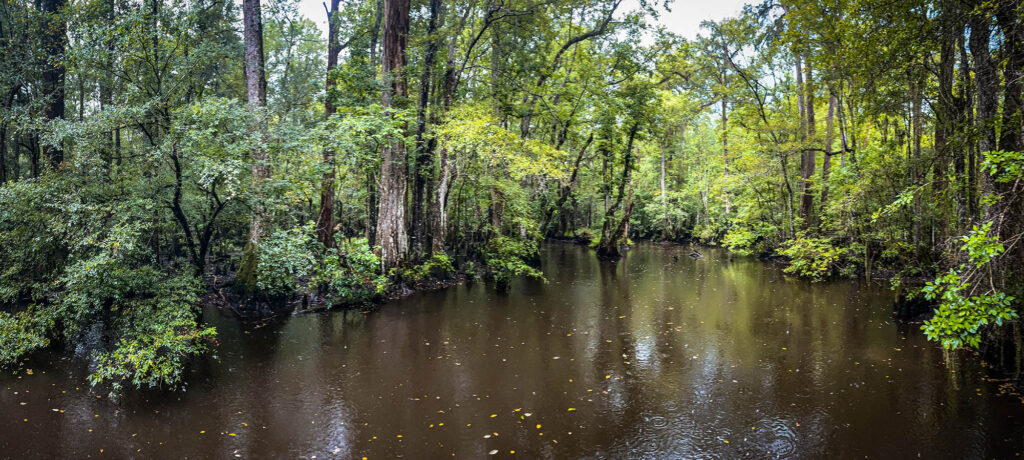
We are living through turbulent times. The world feels splintered, yet beneath our feet the forest still holds fast—roots touching roots, sharing, and trying to endure despite us. I believe we all need to come together around nature and stewardship and this is one way I see it happening: by walking among trees, listening, and letting them teach us how to love this place again.
You can watch the full presentation at the end of this post. May it invite you, too, to find hope in trees.
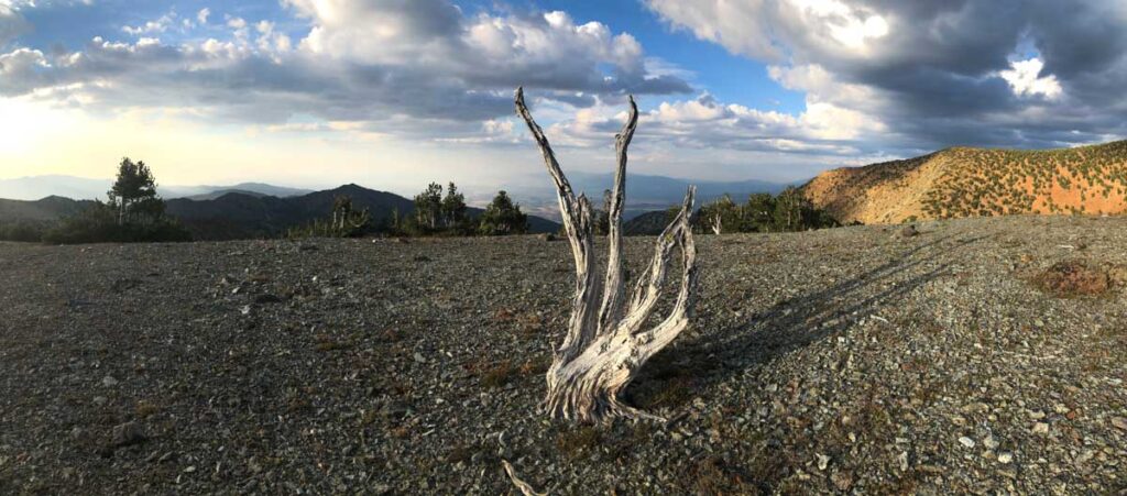
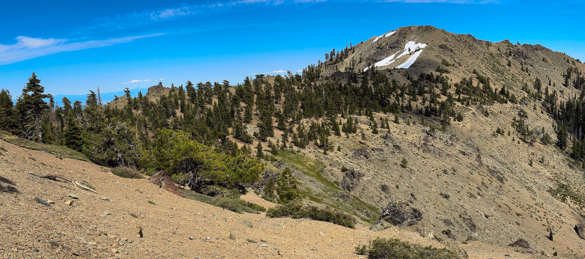
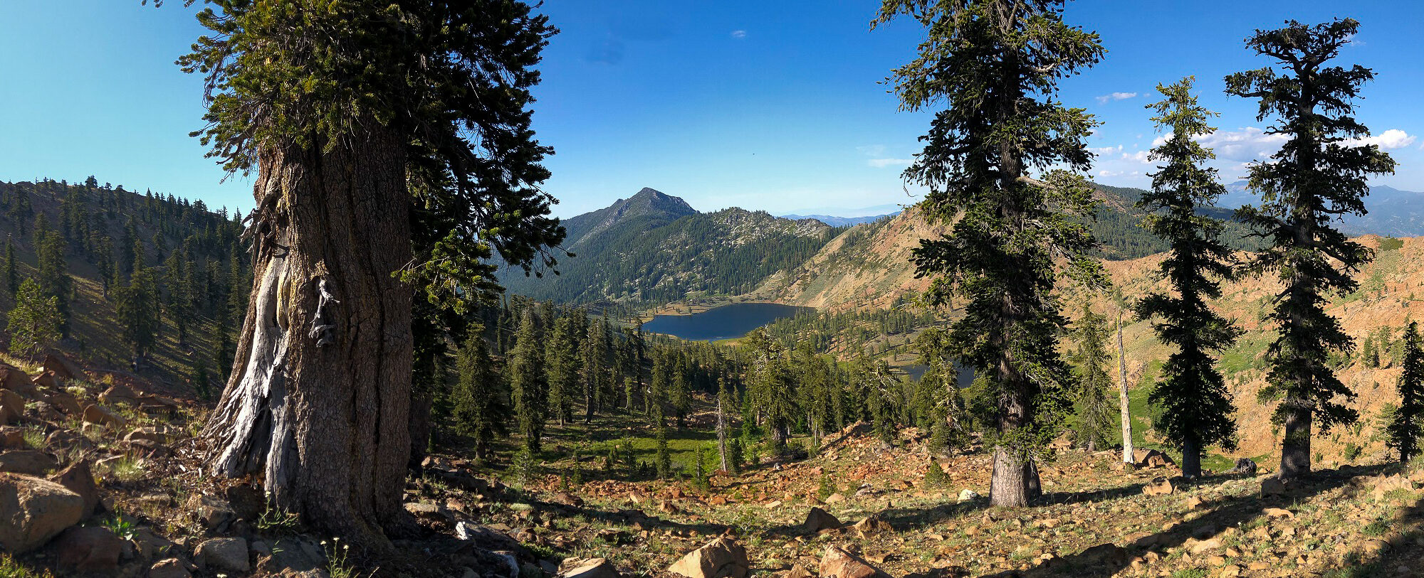
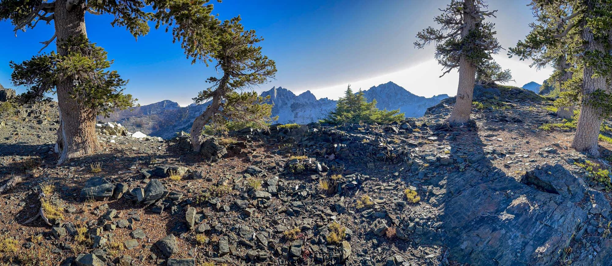
A walk among ancient foxtail pines, where wind sculpts the forest, twisted trunks gleam, and the thin subalpine air whispers ancient secrets.
Down below, the world feels louder: division, anger, disconnection, and the weight of relentless news cycles pressing like smoke. It is easy to feel small and powerless.
But the late Barry Lopez, beloved nature writer and cultural guide, offers another way. In his essay Love in a Time of Terror, he urges us to respond to hatred not with more power, but with love — fierce, rooted, enduring love for the Earth and for each other.
“ In this moment, is it still possible to face the gathering darkness, and say to the physical Earth, and to all its creatures, including ourselves, fiercely and without embarrassment, I love you, and to embrace fearlessly the burning world?”
— Barry Lopez
What if trees could show us how to love in this fractured time?