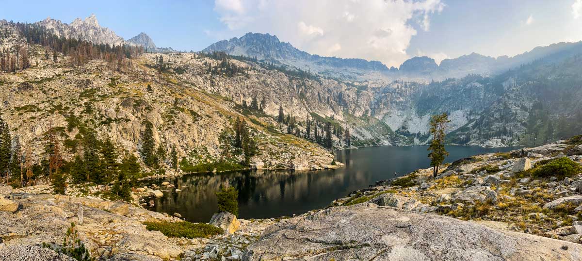
In June 2023, my family and I took a trip up Russian Creek in the Russian Wilderness. This area is renowned for its conifer diversity so I was on the lookout for my favorite plants.
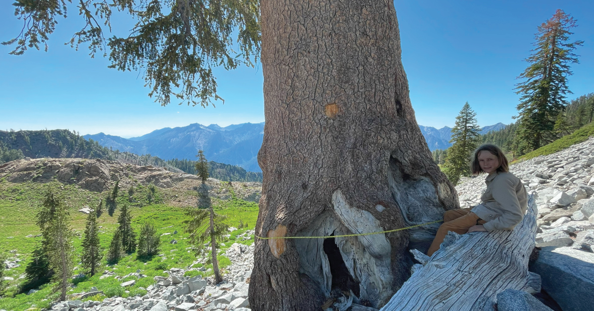
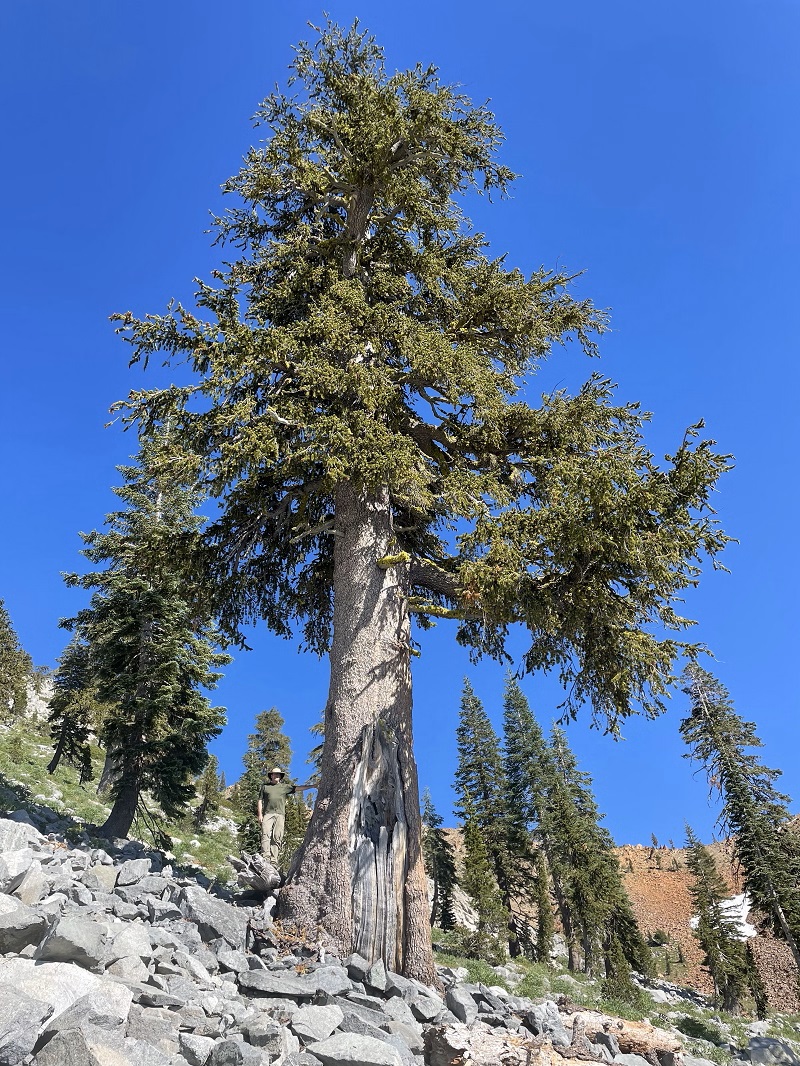
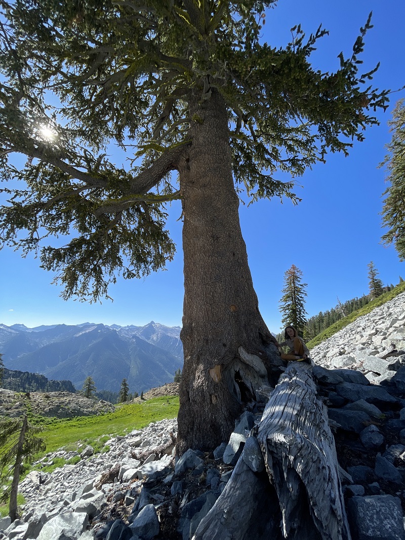
It was alarming to discover mortality in one of California’s rarest conifers, the Engelmann spruce due to Spruce Engraver Beetle in Northern California. Here is what I wrote:
It appears California’s Engelmann spruce are also under attack as the Blake’s Fork stand in the Russian Wilderness is witnessing ~60% mortality over the past few years from what I believe to be spruce beetles. More monitoring is needed.