Warner Mountains — whitebark pines and beyond

Warner Mountains
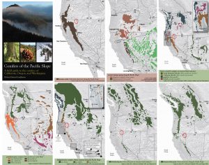
Conifers of the Warner Mountains. Maps from Conifers of the Pacific Slope.

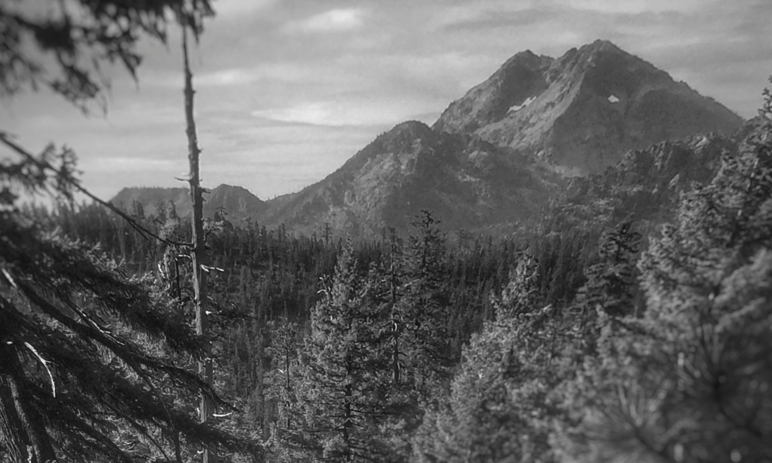
The Warner Mountains are a north-south trending fault block range in the northeastern corner of California, extending northward into Oregon. The length of the range is approximately 90 miles, with the northern California portion bounded by Goose Lake on the west and Surprise Valley on the east. In California, elevations range between 5,000-9,897 feet (on Eagle Peak). In the High Grade district, which is the extreme northern limits of the Warners in California, the range has a fairly even crest of 7500 feet, reaching an elevation of 8290 feet on Mount Bidwell. This is the area where I spent four days mapping and monitoring whitebark pine (Pinus albicaulis) for the US Forest Service.

The geology of the region is complex and compelled me to understand it better. Bedrock consists of sedimentary rocks of the Oligocene overlain by rhyolitic to basaltic volcanic rocks of the Miocene. The basal andesite is overlain by rhyolite and glassy rhyolite, which are in turn overlain by basalt flows. There are valuable minerals and gems found in this area that have justified a long-standing history of mining. Gold was the first and major extracted mineral soon followed by opals, petrified wood, and even obsidian. The range is a complex assemblage of interesting rocks for sure which help sculpt the regional ecology.

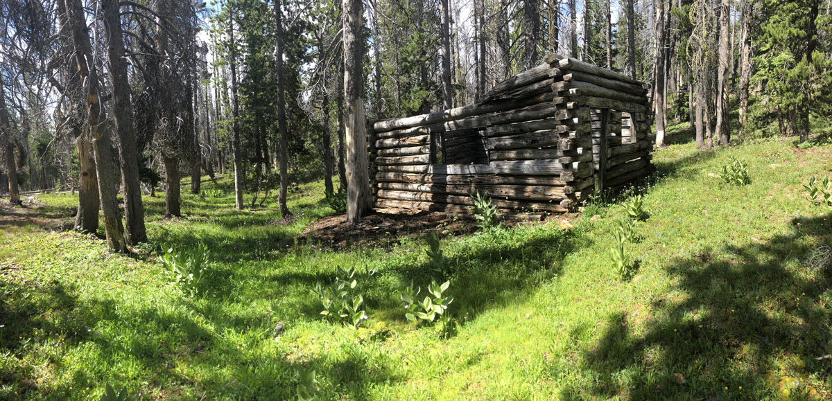
The northern Warner Mountains have a long history of mining.

Continue reading “Warner Mountains — whitebark pines and beyond”

The Dudleya Dilemma

We are collectors

Recently, it was announced that the California Department of Fish and Wildlife caught folks poaching Dudleya farinosa from coastal Mendocino and Humboldt counties. The tip came in from a Postmaster who noticed dirt spilling from a box being shipped to China. Conversations started, one post office talked to another, and they realized poachers were moving from post office to post office shipping boxes of the charismatic Dudleya farinosa. One of the postal workers then reported the suspicious activity on CalTip and this is now an active international poaching case.

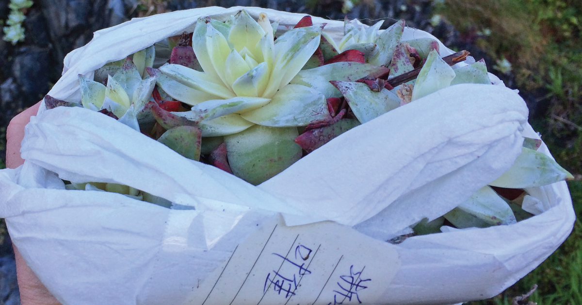
This neatly wrapped Dudleya was confiscated by Game Wardens before it left Humboldt County on its way to Asia’s thriving succulent market. Fifty volunteers soon replanted them on the steep hillside cliffs they call home.

Continue reading “The Dudleya Dilemma”

Marine Terraces of California

In 2012 I first visited the marine terraces of coastal Mendocino County and was captivated by what I learned. The blog and graphic I cooked up after that visit has been one of the more popular entries on this website. In fact, the United States Geological Survey recently published a document on the Marine Terraces of California that features:

  • How marine terraces form
  • Soils sequences of California’s terraces
  • Where to find marine terraces of California
  • The main graphic from my blog about Mendocino’s ecological staircases
Marine Terraces of California

Find the document here:

Schulz, M., Lawrence, C., Muhs, D., Prentice, C., and Flanagan, S., 2018, Landscapes from the waves—Marine terraces of California: U.S. Geological Survey Fact Sheet 2018–3002, 4 p.

Humboldt County Wildflowers

I spoke with Cliff Berkowitz on KHUM’s Happy Trails about places to visit–starting now–to explore spectacular Humboldt County wildflowers. Flowers start flowering early because of the temperate nature of the region. This means that you can find wildflowers starting in January near the coast, all the way to June and July inland in our mountains.

Continue reading “Humboldt County Wildflowers”