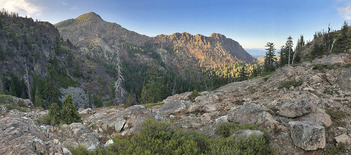
Exploring upper Copper and Indian creeks for yellow-cedar
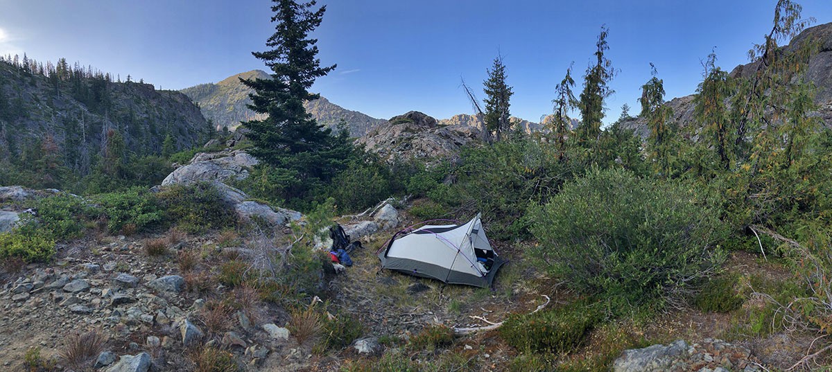
I have been mapping and inventorying yellow-cedar (Callitropsis nootkatensis) in California for the past four years. This process could have been much more efficient if it wasn’t for the 2018 Eclipse Complex and the 2019 Natchez Fire (more below) that virtually closed the Siskiyou Wilderness for the past two summers.
Successful surveys before this year have doubled the previously known area of this rare conifer from approximately 5 hectares in 2015 to 11 hectares by 2018. One of the largest gaps in surveys was within upper Indian and Copper creeks in the Klamath River watershed. I predicted this is where the largest stands of the species would be–little did I know how large an area I would find.