An Old Friend in a New Light
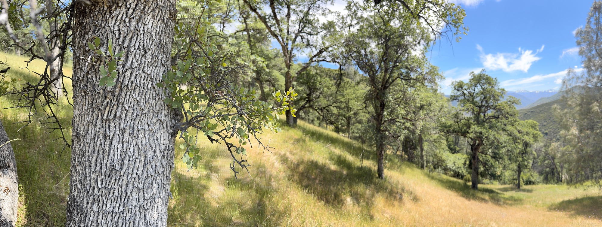
I first met Blue Oak (Quercus douglasii) when I moved to California as a young educator, living and teaching at SCICON, a school nestled in the Sierra Nevada foothills above the Great Central Valley. The property was draped in a mosaic of oak woodland, and it was the blue oak—with its pale, ghostly bark and seasonally bare branches—that became a familiar companion during daily lessons with sixth graders. At the time, I didn’t fully grasp what I had stumbled into, but I knew it felt like home. As a kid raised in the deciduous forests of the Appalachians, these leaf-losing oaks whispered a comforting language.
Continue reading “Blue Oak (Quercus douglasii)”