Exploring the unique high-rainfall, glacially sculpted forests of the southern Coast Mountains
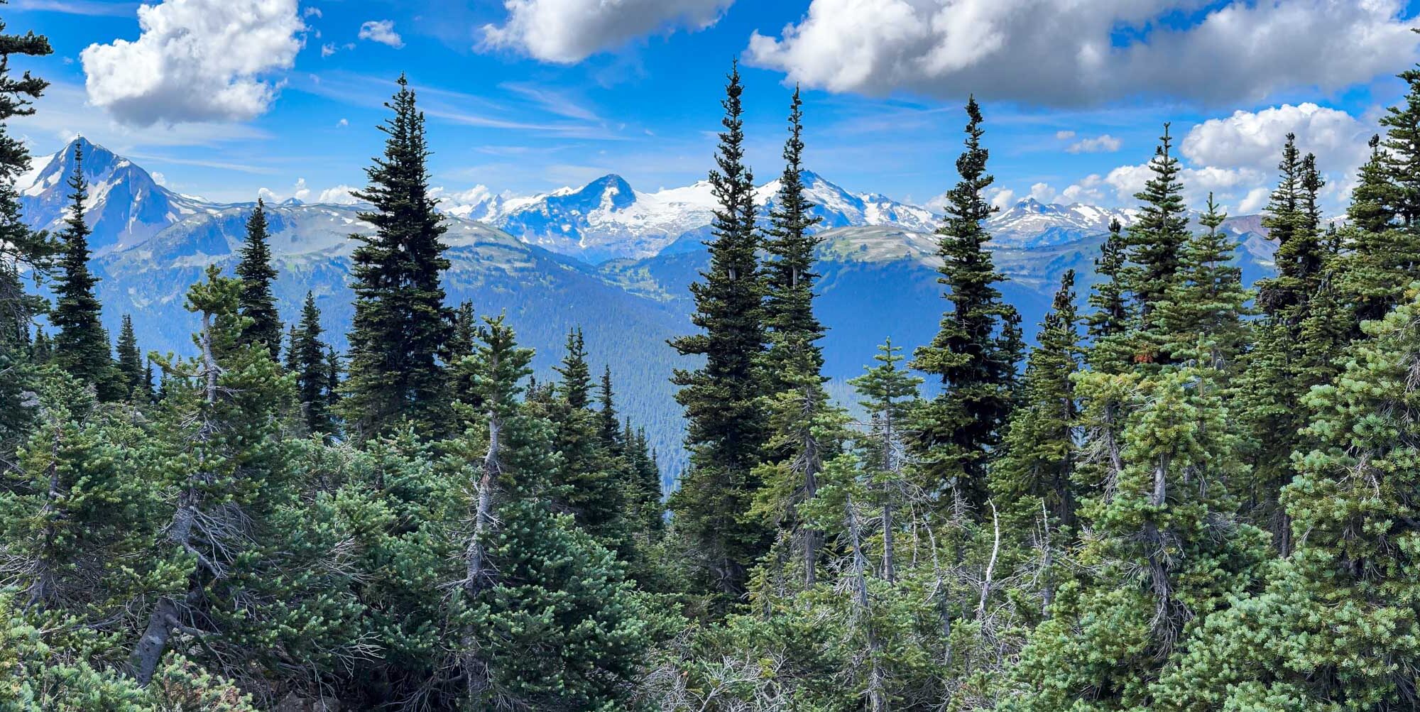
Whistler, British Columbia is famed for its mountains, but just as magnificent are the ancient forests draped across their flanks—wet, wild, and woven with a diversity of conifers that whisper of deep time. Tucked in the southern Coast Mountains, the forests surrounding Whistler are shaped by a cool maritime climate, abundant precipitation, and a legacy of glaciation that has carved basins, ridges, and deep alluvial valleys. These physical forces, coupled with nutrient-rich colluvial and glacial soils, give rise to complex plant communities where conifers reign.
Continue reading “Conifer Forests of Whistler, BC”