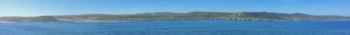
Santa Rosa Island
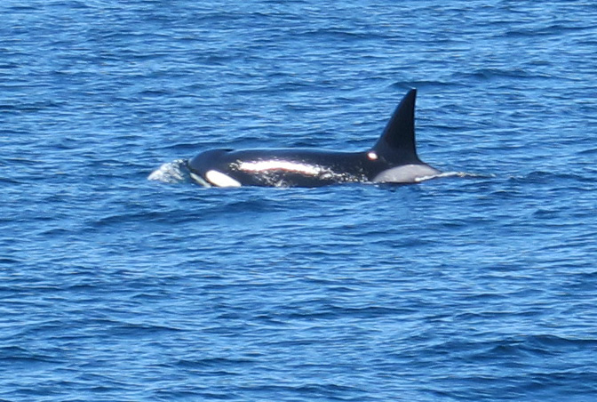
After a two hour boat ride from Ventura Harbor that included sightings of gray and killer whales, passengers disembarked onto a newly-built pier and subjacent white sand beaches. We had arrived. Once unloaded, the park ranger offered an orientation rejoicing in our good fortunes. The high winds and thick fog which had typified the previous few weeks had now subsided. The forecast for the coming days included sun, low winds, and perfect temperatures.
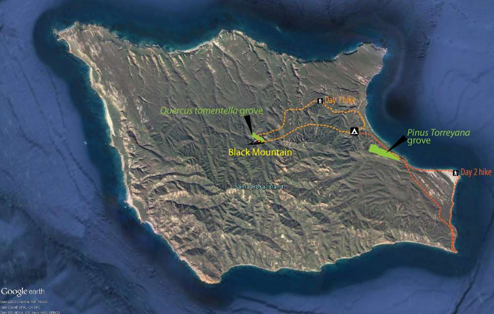
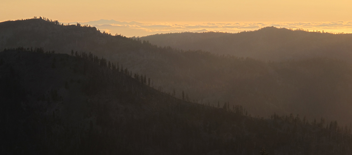
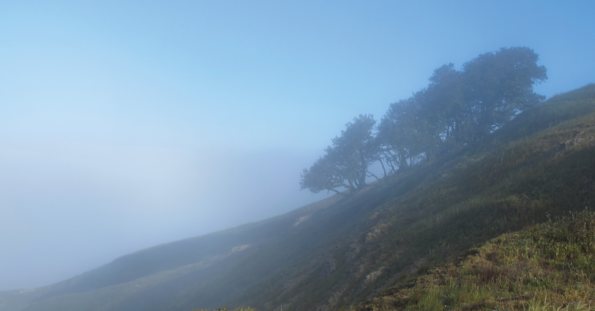
Fog and wind are omnipresent on Santa Rosa Island and play a major role in shaping the landscape. Any plants with a propensity for upward growth are restricted to canyons, particularly north sloping ones. Here they find refuge from the wind and often more available moisture provided by the meager 15-20 inches of annual rain. However near the highest island peaks–like Black Mountain at 1,300 feet plants have adapted to wind and fog in different ways.
Continue reading “The Cloud Forest”