My Favorite Fall Hikes

Quaking aspens (Populus tremuloides) in the Blackrock-High Rock Desert.

Fall is coming.

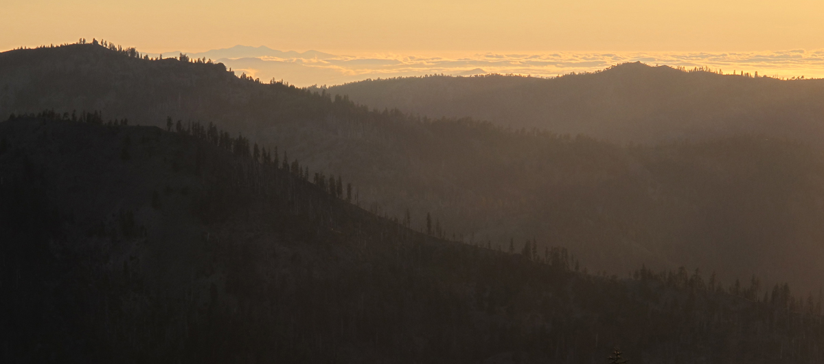
For me it is a time of rejuvenation and also my favorite season. With the shift of the California Current, rains begin to fall in California after a summer of drought. The high country along the Pacific Slope finds snow returning. While we retreat inside our homes, native plants and animals must adjust to the changes. Some birds migrate, mammals might hibernate, and some plants shed their leaves and “hibernate” for winter in their own way.

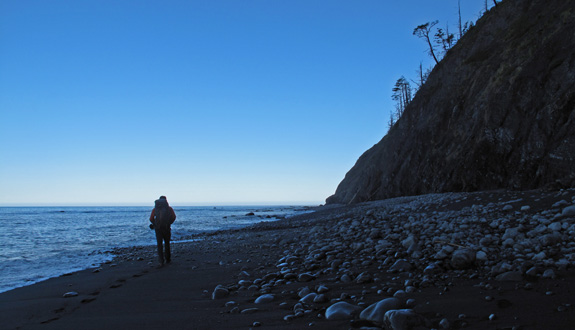
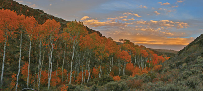
What follows is a journey across the Pacific Slope to four favorite fall hikes–excellent for colorful foliage. I’ve also included some of the plant species that will be found.
  1. Siskiyou Wilderness
  2. Pasayten Wilderness
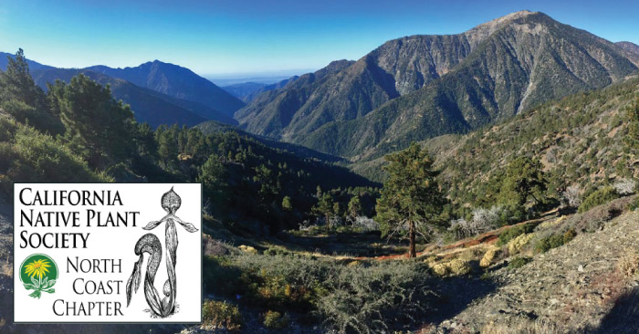
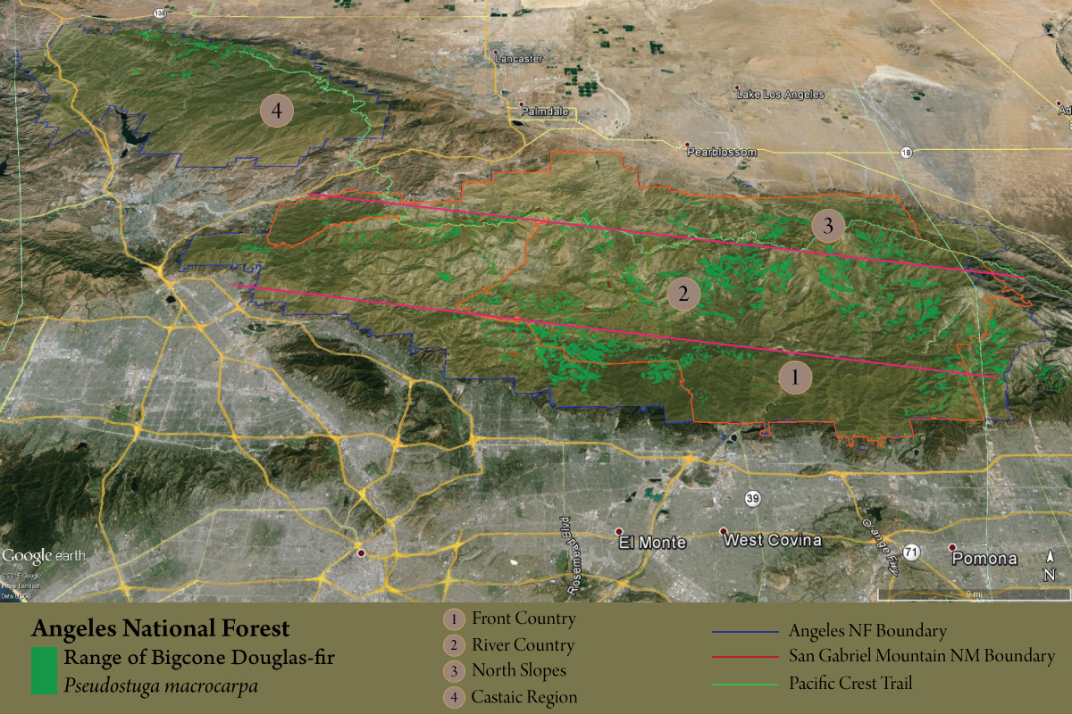
  3. San Gabriel River National Monument
  4. Blackrock-High Rock Desert National Conservation Area

Continue reading “My Favorite Fall Hikes”

Mount Linn Revisited

Northern California’s Coast Range

IMG_2641
A view from Mount Linn toward the Pacific Ocean and the distant King Range.

Mount Linn–also called South Yolla Bolly Mountain–is the highest point in the Coast Range of northern California. It is located to the west of Corning but the area might as well be a world away from the population centers of the state; it is rarely noticed by travelers as they drive Interstate 5. Once off the interstate, scenic forest service roads still take nearly 2 hours to wind to the trailhead. I revisited this fine mountain in July of 2016 to set up a photo-monitoring plot along the Bigfoot Trail and took the time to also map the vegetation on the mountain–particularly the grove of foxtail pines near the summit. This is one of the smallest (12 acres) and most isolated groves for the entire species and one that I am very much concerned about due to climate change. Shasta firs are encroaching upon the trees as snowpack declines and temperatures warm. I was happy to see the trees doing well and many young foxtails sprouting up–just not as many as there are young firs.

Continue reading “Mount Linn Revisited”

Choosing a Hike

How do you go about choosing a hike?

I have used various approaches which always involve careful map study, perusing the pages of hiking guides, and most importantly for me—studying field guides. As I get older, choosing a hiking destination is becoming more critical, with so much to see and even more to learn.

Hiking in the King Range.
King Range hiking.

Over time, I have gone about choosing a hike based more as a destination for discovery before any other factor. I think I first caught the hiking-for-natural-discovery bug while selecting a backpacking route exclusively to see condors in the Sespe Wilderness of southern California. When I moved to Humboldt in 2002, I graduated from bird destinations to plant exploring as I began searching out rare and unusual conifer species in our local mountains. This regular wilderness sideline blossomed into a Master’s Degree from Humboldt State University when I published my first book Conifer Country: A natural history and hiking guide to the conifers of northwest California in 2012. For 10 years I hiked to find and understand trees. These trees, and the places they grow, helped me develop a deeper passion for place and an understanding of the unique natural history of northwest California.

Continue reading “Choosing a Hike”

San Gabriel Mountains Presentation

Plant Exploring in the San Gabriel Mountains National Monument

Wednesday, May 11, 2016 @7:30 p.m. at the Arcata Masonic Lodge

From the California Native Plant Society North Coast Chapter:

Explorer, writer, and educator Michael Kauffmann will lead us on a journey into the Transverse Ranges of southern California to explore the world of what John Muir called the steepest mountains in which he ever hiked. Michael’s explorations began because of a Bigcone Douglas-fir mapping and monitoring project he is leading in conjunction with California Native Plant Society, but these studies have allowed him to make more discoveries–from one of the world’s largest oaks to the most isolated grove of Sierra junipers in the world. Michael will take us on a photographic journey from the mountain tops to the river canyons across one of the nation’s newest national monuments.

San Gabriel Mountains

San Gabriel Mountains – A Photo Tour

Celebrating the Bigcone Douglas-fir of the San Gabriel Mountains

After nearly a month of travel through one of the gems of Southern California, I’ve had enough time to reflect on all aspects of the journey–including the wonders of the wilderness and forest, as well as the state of the region. The San Gabriel Mountains remain wild, in large part, because of isolation due to slope. John Muir called them the steepest mountains he ever hiked in! It seems to me that the forests here are doing as well as they are, while our climate is rapidly changing, because of this isolation in slope. Forest pathogens travel much slower through heterogeneous landscapes with mixed stands of trees. Many of the Bigcone Douglas-fir stands we visited were in isolated on slopes of greater than 50º. Isolation sculpts the ecology of the mountain’s biota  in many ways, and makes life for Pseudostuga both easier and more difficult. That balance defines the ecological amplitude of many of the species on the California Floristic Province.

I’m still working on the full report for our findings, but in general it can be said that within region 1 of the map below, Bigcone Douglas-fir are not doing well. Elsewhere, they seem to be doing fine at the moment–especially if the species has been able to avoid high intensity fires. Reproduction is occurring at variable rates but they seem to like disturbed areas, like landslides, which the San Gabriels have no problem offering.
map-PSMA

Continue reading “San Gabriel Mountains – A Photo Tour”