Original Publication DATE: 5/29/2011
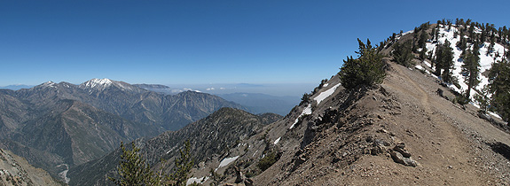
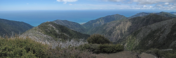
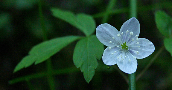
On the way south I decided to revisit some of my favorite hikes from when I lived in the San Gabriel Mountains and taught outdoor education. The top on the list was the summit of Mount Baden Powell. Because the summit is 9,399 feet, it is within close proximity of the Pacific Ocean (on the rare smog-free day it is visible), and on the edge of the Mojave Desert there is astounding plant diversity meeting and mixing on the flanks of the mountain. Day one of my journey I climbed the peak and day two I dropped into the San Gabriel River valley within the Sheep Mountain Wilderness to enjoy the lower elevations of Baden Powell’s mastiff. Both were amazing hikes–pictures follow.
The Ascent – Mount Baden Powell