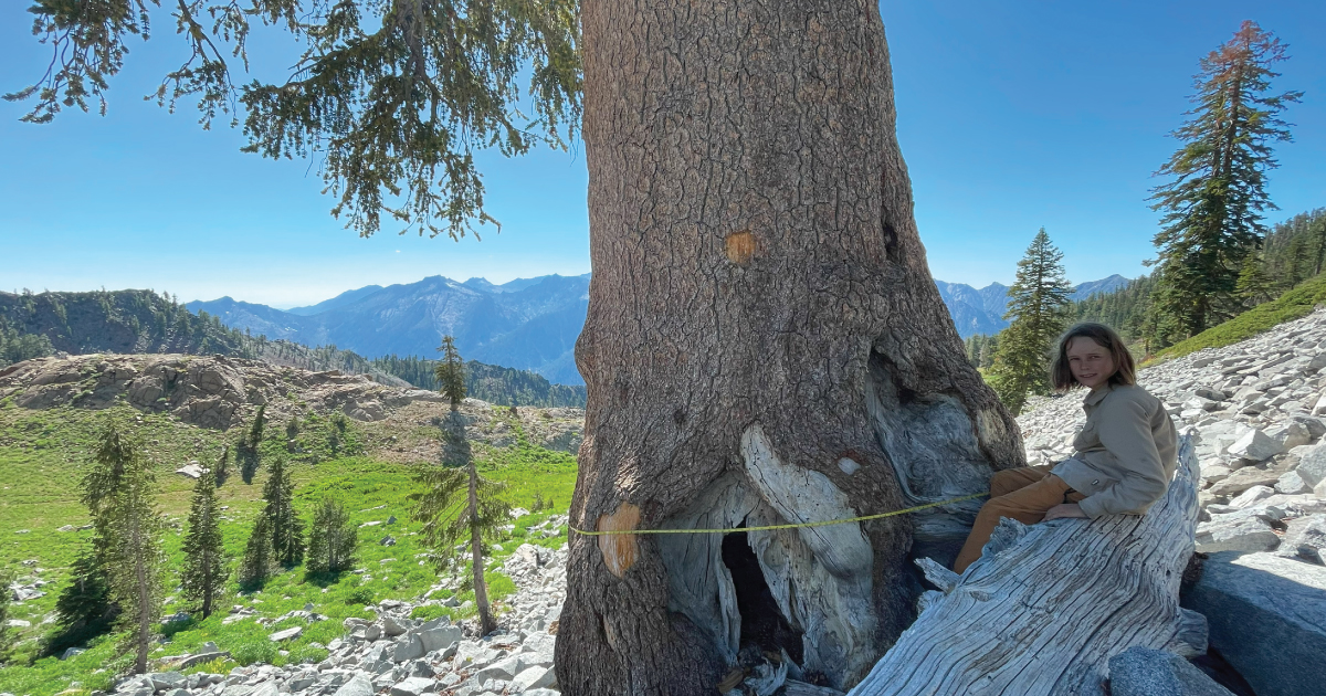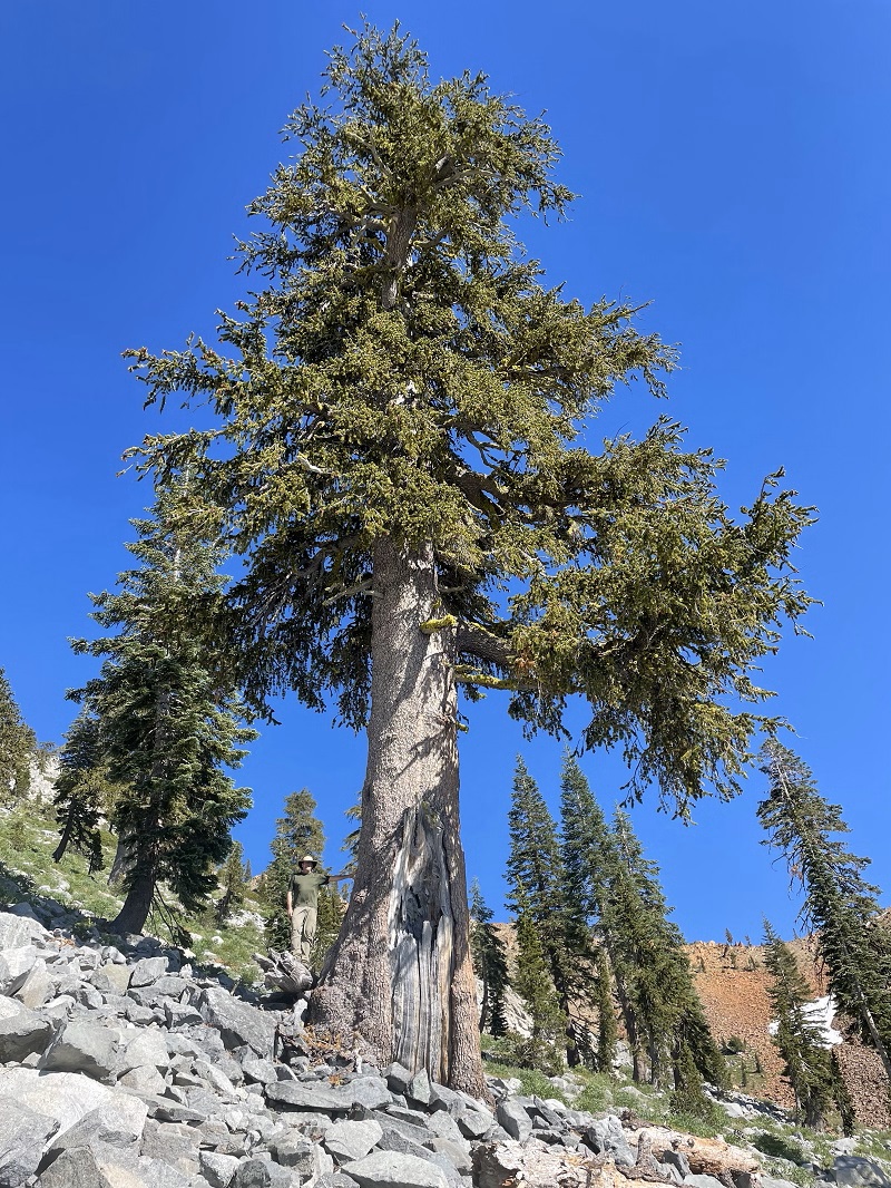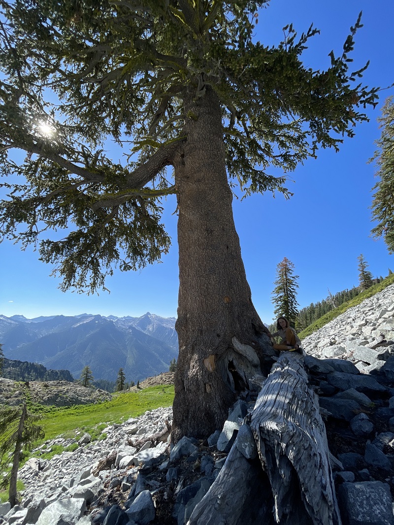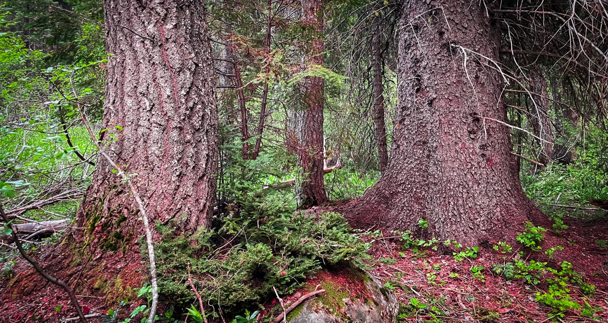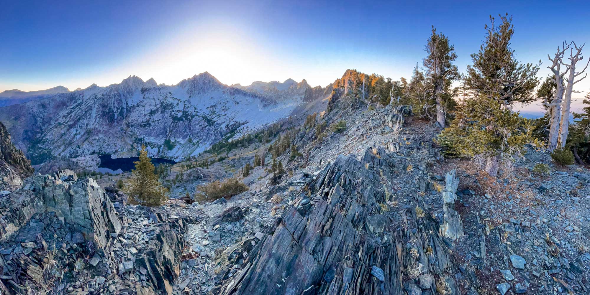
Trinity Alps Wilderness
In November 2008, I made my first trip to Papoose Lake in the Trinity Alps Wilderness. That trip inspired my first blog post which evolved into Field Notes From Plant Explorations. This first post was more about geology than plants because of the unique geologic character of the Papoose Lake Basin.
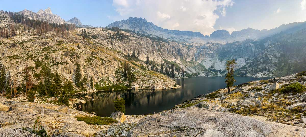
This month, almost 15 years later, I returned to Papoose Lake to conduct vegetation surveys as part of our Klamath Mountains Vegetation Mapping Project. In many ways the basin is the same but in others changes are afoot. What follows are some reflections on 15 years of blogging through the eyes of a Klamath Mountain lake basin.
Continue reading “Papoose Lake Revisited”