Original Publication DATE: 5/26/2011
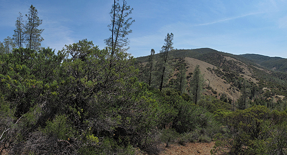
The first journey of the summer has begun and as I make my way south to the Sierra San Pedro Martir botanically diverse destinations will craft the route I drive. The first stop was not too far from home, but a place I had not yet been. The serpentine soils along the Frenzel Creek Research Natural Area foster the sympatric overlap of two cypresses–along with many other unique serpentine plants. Enjoy the photo-blog, as I won’t have a lot of time to write with many miles to travel.