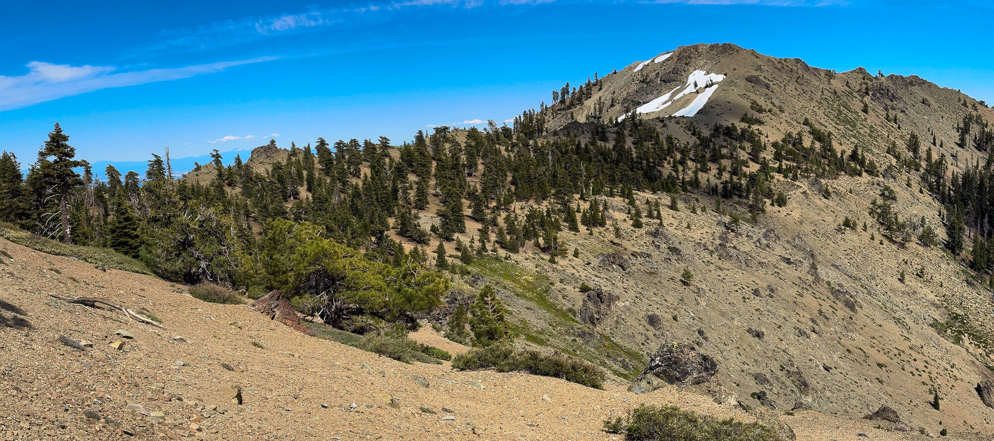
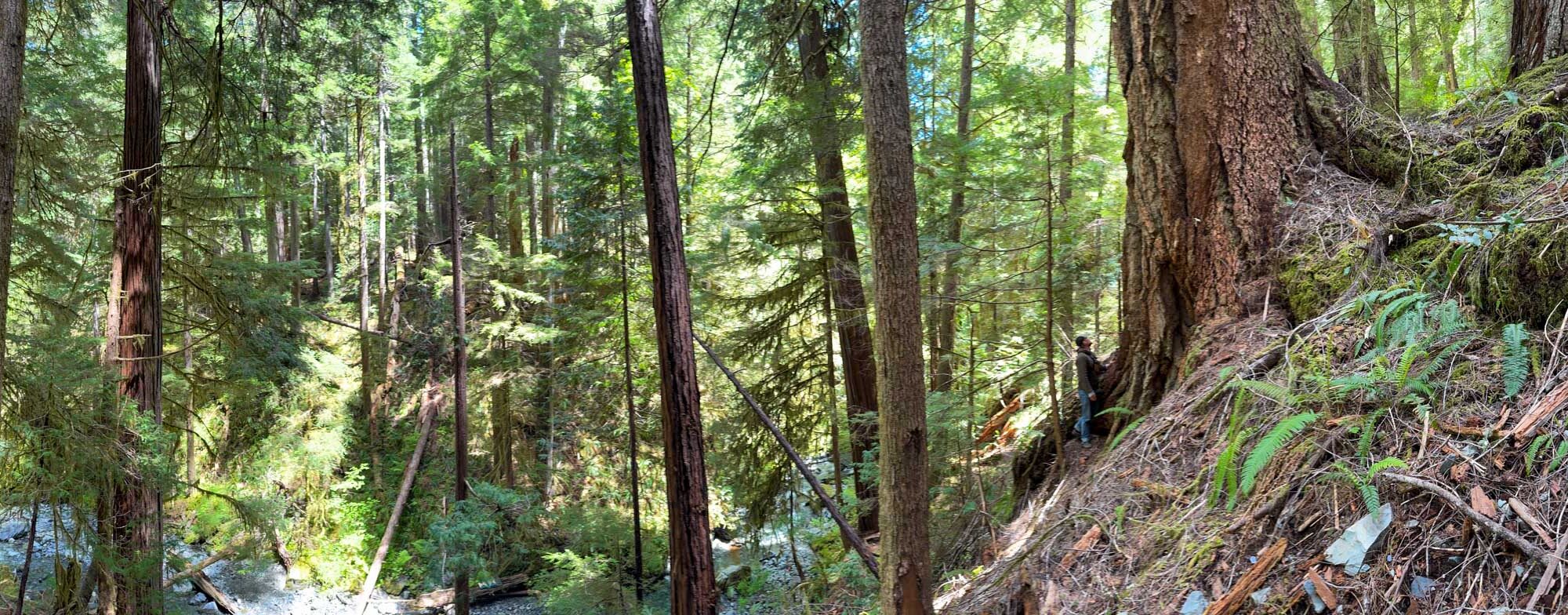
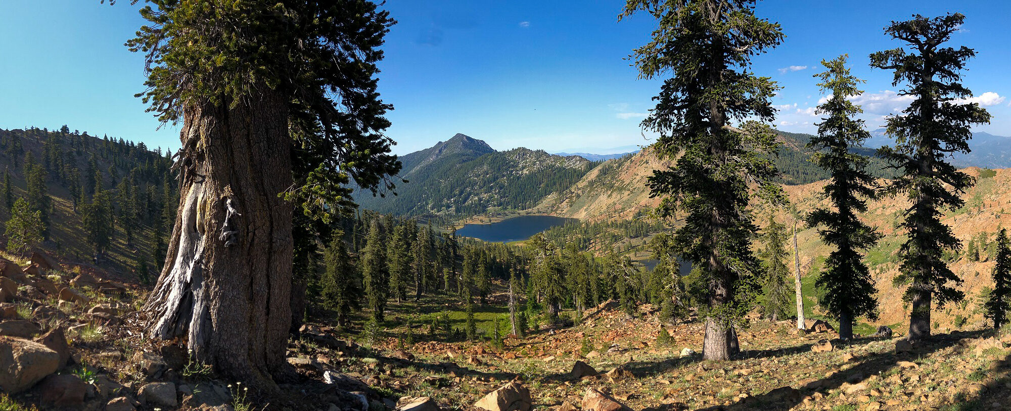
BLURB FROM THE TALK: Humboldt County educator, author, and ecologist Michael Kauffmann has been tracking the status and distribution of Klamath Mountain conifers for over 15 years and his book, Conifer Country, if the definitive field guide to the region. Michael will take us from mountain summits to coastal river valleys and provide updates on the status and distribution of many of these charismatic conifers based on field work in the summer of 2019 with the California Native Plant Society Vegetation Team. He will also share photos and stories about exciting plants from the region.
Sitka Spruce Decline in California
Where Highway 101 hugs the Pacific Coast in Humboldt County, north through Del Norte County, Sitka spruce (Picea sitchensis) are loosing needles at an alarming rate. This phenomenon, caused by the non-native green spruce aphid (Elatobium abietinum), grew into a noticeable problem in winter 2019-2020. The aphid thrives during winters with warmer than normal temperatures. Last year’s defoliation was especially severe in Oregon and the aphids continues to move south. Sitka spruce decline in California is in its early stages.
Continue reading “Sitka Spruce Decline in California”All Species Grove
Exploring the remnant old-growth of the Humboldt County Headwaters
In late 1985, a family company in Humboldt County was over taken by a large corporation from Texas. Within a few months, the profit-driven Maxxam Corporation submitted (under the name Pacific Lumber) a furtive timber harvest plan with a rush order to log some of the last, largest swaths of remaining old-growth redwoods in the world. Thankfully, a small group of concerned environmentalists were watching. Leading the guard was Greg King who, along with others, organized and Headwaters Forest Campaign which soon became the largest forest protection civil disobedience demonstration in America’s history.
Continue reading “All Species Grove”Western Redcedar in California
From Alaska south to Oregon western redcedar (Thuja plicata) is the signature tree of the Pacific Northwest temperate rainforest. It has mythic importance to native people, as entire civilizations were sustained, in large part, by this species. Natives of the Pacific Northwest regarded the species as a “Long Life Maker” (Stewart 1984) because they used it for canoes, paddles, houses, roofs, clothes, bedding, rope, cooking, and even medicine. Few giant trees were actually felled before the arrival of Europeans because old snags were usable for many years after death. Highly resistant to rot, the snags or parts of live trees would be harvested instead of the entire live tree. After building a dugout canoe from a tree, Lewis and Clark named it “arbor vitae,” Latin for “tree of life” (Arno 2007).
Continue reading “Western Redcedar in California”Pacific Silver Fir in California
Part 2: Marble Mountain Wilderness
Read Part 1
In conjunction with the Klamath National Forest and the California Native Plant Society Vegetation Team, I completed a mapping and inventory project for Pacific silver fir (Abies amabilis) in California. The first part of this project was along the Siskiyou Crest, near the Oregon-California border. This post is about the populations in the Marble Mountain Wilderness.
In 2016 I embarked on a mapping and inventory project for yellow-cedar (Callitropsis nootkatensis) in California. At the time, I called yellow-cedar California’s rarest conifer. In 2019, new discoveries on the north slopes of Copper Butte and Preston Peak brought the total hectares of yellow-cedar in California to ~21 hectares. With this new data, and that collected in this project, we now know Abies amabilis is California’s rarest conifer*! See table below for stand data summary.
*This excludes the neoendemic California cypresses.
Continue reading “Pacific Silver Fir in California”Diamond Lake – English Peak Revisited
Marble Mountain Wilderness

I first visited this area in 2004 when my friend Jay and I attempted an ambitious loop starting from the Wooley Creek Trailhead, to the headwaters at Wooley Lake, back to Hancock Lake, and then laboring along the non-existent trail on Steinacher Ridge back to our car. This was the first major hike I took in the Marble Mountain Wilderness and my encounter with Pacific silver fir (Abies amabilis) around the Diamond Lake – English Peak region inspired the writing of my first book, Conifer Country.
Continue reading “Diamond Lake – English Peak Revisited”My other side of the Mountain
Exploring upper Copper and Indian creeks for yellow-cedar
I have been mapping and inventorying yellow-cedar (Callitropsis nootkatensis) in California for the past four years. This process could have been much more efficient if it wasn’t for the 2018 Eclipse Complex and the 2019 Natchez Fire (more below) that virtually closed the Siskiyou Wilderness for the past two summers.
Successful surveys before this year have doubled the previously known area of this rare conifer from approximately 5 hectares in 2015 to 11 hectares by 2018. One of the largest gaps in surveys was within upper Indian and Copper creeks in the Klamath River watershed. I predicted this is where the largest stands of the species would be–little did I know how large an area I would find.
Continue reading “My other side of the Mountain”Pacific Silver Fir in California
Part 1: The Siskiyou Crest

In conjunction with the Klamath National Forest and the California Native Plant Society Vegetation Team, I began a mapping and inventory project for Pacific silver fir (Abies amabilis) in California. The first part of this project was along the Siskiyou Crest, near the Oregon-California border. Later this summer I will visit the other population in the Marble Mountain Wilderness.
Pacific silver fir in California can easily be overlooked because of its similarity to white fir (Abies concolor). Upon close inspection (and by going to specific locations) the differences will become apparent. Silver fir is identifiable in the hand because it has the most distinct and exuberant stomatal bloom of any regional tree. Like grand fir (and regionally white fir) the tips of the needles are notched. The needles splay from the branch on only one side often in a perfect arrays, fanning out in a semi-circular manner. The needles occasionally twist in this array, thus offering distinct silver flashes of the stomatal bloom on the undersides—a brilliant contrast to the dark-green upper surfaces. This is also what sets it apart from white fir, with a duller stomatal bloom. As with other Abies, the smell of crushed needles emits a resinous “pine scent.” The bark is distinct, forming long, narrow, rectangular blocking patterns that seem to melt off the trunks in silvery chunks with subtle reddish hues in the furrows. At a distance, larger trees are gradually tapered, similar to Shasta fir (Abies magnifica var. shastensis). It is an inimitable and rare experience to spend time with this beauty in the Klamath Mountains
Continue reading “Pacific Silver Fir in California”In Defense of Plants
Conifer Country
I was fortunate to join Matt and discuss my passion: Conifers of the Klamath Mountains. Please listen or even better, subscribe where ever you get your podcasts.
I am obsessed with the botanical world. In Defense of Plants is my way of sharing that love with you.
— Matt, In Defense of Plants
Redwood Experimental Forest
Exploring the Yurok RNA
Many years back I discovered that there were little known biodiversity hotspots that had been described by a handful of ecologists. These places had been designated as Research Natural Areas for the primary purposes of maintaining biological diversity, providing baseline ecological information, and encouraging research and university natural-history education. These places are all relatively pristine and sometimes close to roads in non-wilderness areas.
It was in this way that I first learned about the Redwood Experimental Forest that also contains the Yurok RNA. But I had never visited this place despite the fact it has been on my list since the early 2000s. That all changed in June 2019.

Residual Old Growth
Big Trees of the Freshwater Creek Drainage, Humboldt County

Old-growth forests are forests that have developed over long periods of time, without experiencing severe, stand-replacing disturbance—a fire, windstorm, or logging. Within the redwood forest belt, of the estimated 1.6 million acres of redwood forest remaining, only 7% is old growth. The remaining 93% is considered some level of second growth. Around Humboldt Bay where we live that number is approaching 99%. The old-growth trees that do remain are often mixed within the second growth forests. Most often, an old tree was left behind by loggers because of imperfections like broken tops or less than optimal heartwood. This post explores some of the residual old growth in my neighborhood.
Continue reading “Residual Old Growth”Castle Crags State Park
Geologic History
Castle Crags State Park is within the Klamath Mountains geomorphic province. The eastern Klamath Mountains are built from the oldest rock in the range with the newest to the west. This is due to the continued accretions of oceanic crust added on to the western edge of North American continent. Rocks surrounding Castle Crags are mostly of the Ordovician-aged (443–490 million year old) Trinity ultramafic sheet.
Curious Cryptogams of the Klamath Mountains
What are cryptogams?
In 1883, August W. Eichler, the prominent plant taxonomist of the day, divided the plant kingdom into two groups: Cryptogams and Phanerogams. Cryptogamae are seedless and have inconspicuous reproductive structures while Phanerogamae produce seeds and have visible reproductive structures (like flowers and cones). Cryptogamae means hidden reproduction, referring to the fact that no seed is produced. Instead reproduction occurs by spores. Eichler only classified plants as cryptogams but the definition has since expanded to include, among others, mushrooms and blue-green algae. This collective group, while taxonomically incoherent because it includes species from more than one Kingdom, represents the most ancient lineages of land-dwelling species on Earth.
Continue reading “Curious Cryptogams of the Klamath Mountains”
Northwest California Wilderness, Recreation, and Working Forests Act
In mid-September I had the opportunity to assist in guiding an EcoFlight across the North Coast and Klamath Mountains. I was invited by the California Wilderness Coalition to point out landmarks and important areas to Congressman Huffman’s staff and local media outlets as they relate to the Northwest California Wilderness, Recreation, and Working Forests Act. The following is a photo tour from the flight that highlights parts of the bill. If so inspired, please follow the links at the end to get involved!
Continue reading “Northwest California Wilderness, Recreation, and Working Forests Act”
Klamath National Forest Whitebark Pine
Mapping and monitoring Pinus albicaulis
For the better part of July I was contracted by the Forest Service Region 5, in a partnership with the CNPS Vegetation Program, to follow up with our 2013 work mapping and monitoring whitebark pine in the north state. I visited numerous sites where I predicted Pinus albicaulis might occur to conduct surveys and improve our state-wide range map for the species. Overall, the health of the species in northern California is in slow decline due to a variety of factors including mountain pine beetle, white pine blister rust, global climate change, and recent high intensity fires. In an earlier post, I shared some highlights from the Modoc National Forest, this post shares images and highlights from Klamath National Forest whitebark pine work.
Klamath Mountain Peat Bog
Isinglass Lake
On a recent trip into the Marble Mountain Wilderness to map and monitor whitebark pine (Pinus albicaulis) on the Klamath National Forest, I found myself near Isinglass Lake. I had read that the only population of great sundew (Drosera anglica) in the Klamath Mountains was documented here in 1972. I knew there was a Klamath Mountain peat bog to be found.
Continue reading “Klamath Mountain Peat Bog”Warner Mountains — whitebark pines and beyond
The Warner Mountains are a north-south trending fault block range in the northeastern corner of California, extending northward into Oregon. The length of the range is approximately 90 miles, with the northern California portion bounded by Goose Lake on the west and Surprise Valley on the east. In California, elevations range between 5,000-9,897 feet (on Eagle Peak). In the High Grade district, which is the extreme northern limits of the Warners in California, the range has a fairly even crest of 7500 feet, reaching an elevation of 8290 feet on Mount Bidwell. This is the area where I spent four days mapping and monitoring whitebark pine (Pinus albicaulis) for the US Forest Service.
The geology of the region is complex and compelled me to understand it better. Bedrock consists of sedimentary rocks of the Oligocene overlain by rhyolitic to basaltic volcanic rocks of the Miocene. The basal andesite is overlain by rhyolite and glassy rhyolite, which are in turn overlain by basalt flows. There are valuable minerals and gems found in this area that have justified a long-standing history of mining. Gold was the first and major extracted mineral soon followed by opals, petrified wood, and even obsidian. The range is a complex assemblage of interesting rocks for sure which help sculpt the regional ecology.
Continue reading “Warner Mountains — whitebark pines and beyond”
Post Eclipse Complex
Siskiyou Wilderness

It is no secret that the Siskiyous are my favorite place in the Klamath Mountains. I have spent many days and hiked numerous miles across this region. The Bigfoot Trail travels the entire crest of the range as well.
In early August 2017, lightning ignited a series of fires first named Oak, Cedar, Clear, and Prescott. These fires later grew together and were combined into the Eclipse Complex. Over the next month, approximately 100,000 acres burned in and around the Siskiyou Wilderness. Between last October and now I have had reason to visit much of this area for work and play. What follows are some of the pictures I have taken.
Continue reading “Post Eclipse Complex”Coastal Lowland Forests
The Klamath Mountains
The coastal lowland forests receive the most annual rainfall of anywhere else in the Klamath Mountains. From the north in Oregon the Coquille, Rogue, and Illinois rivers drain southwest Oregon and the Smith River country is California’s only temperate rainforest. The rich soils, temperate year-round growing season, and high rainfall (often over 100 inches) nurture these impressive forests.
Klamath coastal lowland forests are typified by dense, closed canopies on well-developed soils (sometimes serpentines). The dominant tree species have high colonizing abilities, long life, and a wide ecological tolerances to environmental conditions, including dry summers with occasional persistent fog. These forest thrive below the snow belt on the extreme western slopes of the Siskiyou Mountains. Species like Douglas-fir (Pseudotsuga menziesii) and Port Orford-cedar (Chamaecyparis lawsoniana) secure the highest place in the canopy, often approaching 300’. A second canopy forms one hundred feet below and includes species like tanoak (Notholithocarpus densiflorus) and madrone (Arbutus menziesii) where they share an understory with coastal specialists like salal (Gaultheria shallon) and evergreen huckleberry (Vaccinium ovatum). With the high volumes of rain that falls each winter, banks of coastal rivers and streams are frequently disturbed and then repeatedly pioneered by red alder (Alnus rubra).
Hell Gate
Botanizing the South Fork National Recreation Trail – Trinity County
Hell Gate highlights the lowland interior forest of the southern Klamath Mountains along the Trinity River on the Shasta-Trinity National Forest. The Trinity is surely one of the most spectacular rivers in the state and this hike is along a roadless stretch in the upper reaches of the south fork. The old-growth Douglas-fir/mixed evergreen forest is top-notch, especially along the north-facing sections of trail. Oak woodlands are on benches above the river, with Oregon white oak mixing with picturesque grasslands–though the lack of fire is allowing extensive conifer encroachment. Some of the largest Pacific yew I have ever seen can be found along the trail as well.
The area is dotted with private in-holdings and these beautiful old homes appear at random intervals along the trail. The trail is open to biking and—for these home-owners—OHVs. Swimming opportunities abound and solitude can be easily found, especially in the winter (there are bridges on all major stream crossings). The hike, as written and drawn in Conifer Country, is 7 miles to Smokey Creek but the National Recreation Trail extends the length of this roadless stretch of river—for a total of 15 miles from Hells Gate to Wild Mad Road. The upper reaches of this trail is part of the Bigfoot Trail.
I am highlighting three species below that I found on our hike. One that is a regional endemic, one that reaches it coastal range extension here, and a third that is found across the northern hemisphere. These selections highlight the regional diversity with a biogeographical perspective.