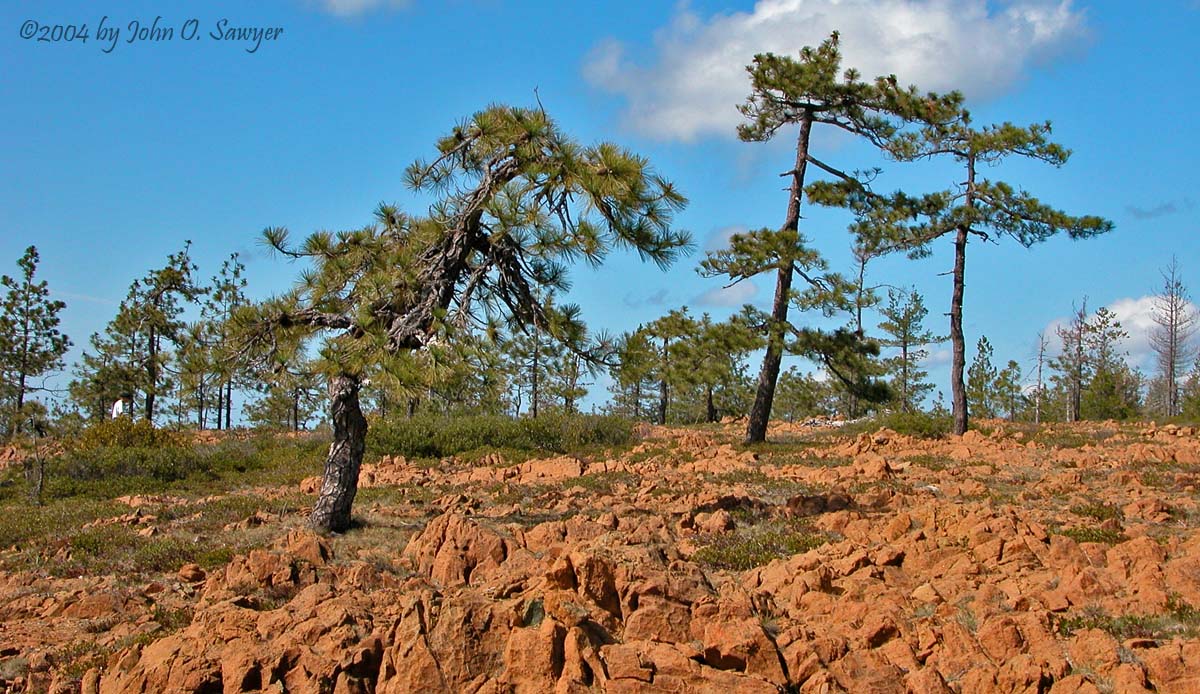
San Bruno Mountain Manzanitas

Manzanitas of San Bruno Mountain County Park – An island of Artctostaphylos endemism

This region is the epicenter for “localized endemism” in manzanitas. Two manzanita species are found on this mountain and nowhere else (A. pacifica and imbricata) and both share space and time with a distinct form of bear-berry (A. uva-ursi), the equally rare Montara Mountain manzanita (A. montaraensis) and the more common brittleleaf manzanita (A. crustacea). The San Francisco Bay area is at the center of the range of biodiversity for the genus Arctostaphylos–which extends from just north of the Oregon-California border southward to northern Baja California, Mexico. Other nearby Bay Area rarities include the Franciscan manzanita (A. franciscana), Presidio manzanita (A. montana ssp. ravenii), and Marin manzanita (A. virgata) to name a few.

Downtown San Francisco, seen from San Bruno Mountain County Park.

Continue reading “San Bruno Mountain Manzanitas”

Manzanitas of San Luis Obispo County

SLO down and botanize

Excerpts below from Field Guide to Manzanitas

In the California Floristic Province, the genus Arctostaphylos is a particularly fine illustration of how long-term dispersal events lead to colonization and consequent adaptive radiation in a group of plants. Fossil records show that this genus has been migrating and adapting to climatic shifts for at least 15 million years. However, only in the past few million years has Arctostaphylos, commonly called manzanita for its berries’ resemblance to small apples, found its promised land. The California Floristic Province’s exceptionally diverse range of habitats, particularly of ones that provide a taste of the suboptimal, is perfect for manzanitas. A synergistic mix of climate stability, soil variability, topographic volatility, and fire frequency provides the perfect alignment of biotic and abiotic factors. Like many other California evergreens (including my beloved conifers!) these hardy plants have benefited from inhospitable environments wherein competition from many plants is reduced and their own adaptability to poorer growing sites allows them to thrive. This, somewhat ironically, has made the unassuming “little apple” the most species-rich shrub genus in the California Floristic Province.

Arctostaphylos pilosula
Arctostaphylos pilosula – an endemic species to the San Luis Obispo region.

Continue reading “Manzanitas of San Luis Obispo County”

Cone Peak Conifers

Los Padres National Forest – Ventana Wilderness

The Santa Lucia Mountains offer a magical landscape. Uplifted dramatically above the Pacific Ocean, sculpted by frequent fire return intervals throughout the Holocene, and decorated with interesting plants–the landscape tells stories reflected in deep time. Plants both evolutionarily new and old can be found across a variety of vegetation types. Steep north-facing mountainsides offer a rarity here: the absence of high-intensity fire. This happens because the steepness inhibits fuel loading in the understory. These cool microsites nurture two relict conifers–the Santa Lucia fir being one of the rarest firs in the world.

Cone Peak is in the Los Padres National Forest on the edge of the Ventana Wilderness
The Los Padres National Forest on the edge of the Ventana Wilderness.

Continue reading “Cone Peak Conifers”

Bigfoot Trail Map Set – V2.2015

I first created a map set for the trail in the winter of 2009 after hiking the trail the previous summer. It was a fun, first attempt for me to create something like this. I offered the digital map set & route description for free the past 6 years (find original map set here). During that time, hundreds of folks downloaded the file. Some of those even hiked the trail, providing me feedback on the original description. With the launch of my grand plan to establish the Bigfoot Trail Alliance, I decided it was time to revamp and update the previous document.

Bigfoot Trail map set V2.2015 cover pages.

That original file got a major overhaul this spring with the help of a terrific cartographer, Jason Barnes. He and I worked out a template for the route and then created 23 brand new maps. At a scale of 1:60,000, where one inch is a mile. The description has a new, more user-friendly look and Jason’s map layers are second to none for both beauty and navigability.

Here are the details from the cover page of the new map set:

All photos and text by Michael Kauffmann
Book layout and map details by Backcountry Press
Cartography by Jason Barnes
Consulting and GIS work by Justin Rohde
Editing and trail notes by Sage Clegg and Melissa Spencer
GPX Coordinates by Sage Clegg
Published by Backcountry Press | Kneeland, California

ISBN 978-1-941624-04-3

Take the maps for a walk (long or short) and enjoy one of the most biodiverse temperate coniferous forest on Earth.

Section1_Bigfoot-Trail-Map
Bigfoot Trail section 1 – V2.2015 map set.
Bigfoot Trail section 23 - V2.2015 map set.
Bigfoot Trail section 23 – V2.2015 map set.
authors
Jason Barnes (left) and Michael Kauffmann (right)