Welcome to WordPress. This is your first post. Edit or delete it, then start writing!
Montgomery Woods State Natural Reserve
Hot springs and tall trees, all hidden in a remote area of Mendocino County. This was the family destination for a pre-Thanksgiving celebration. Most or our time was spent at Orr Hotsprings but an day-hiking excursion treated us with a fabulous adventure in an isolated redwood grove at Montgomery Woods State Natural Reserve.
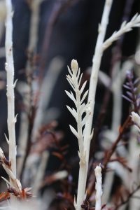
The hike was punctuated with firsts: my son’s first multi-mile hike and my my first albino redwood. The park previously held the tallest recorded redwood — at 367.5-foot it was once declared the world’s tallest. While the Montgomery tree is still alive, the new record is in Humboldt County. Other exciting finds in the park included an excellent expanse of giant chain ferns in a lowland basin along the trail. Read more about Montgomery Woods from Save the Redwoods League.
Arctostaphylos nummularia
Arctostaphylos nummularia subsp. mendocinoensis
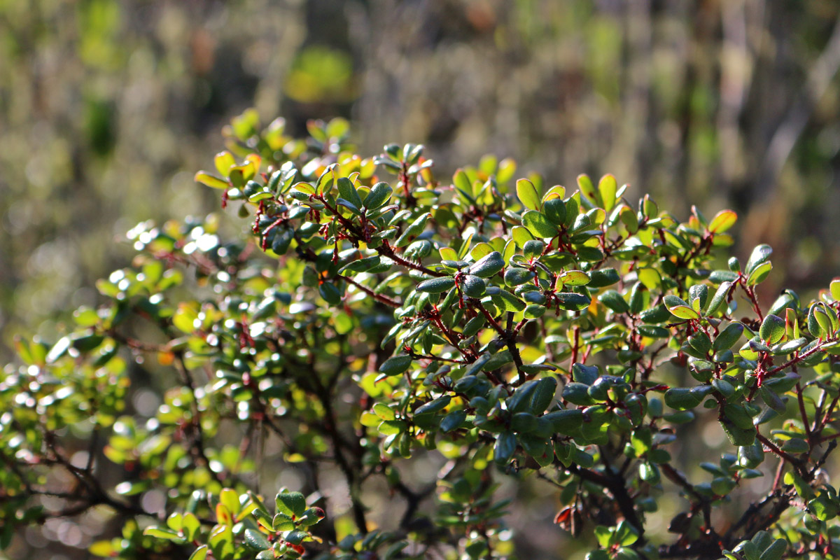
The pygmy manzanita (Arctostaphylos nummularia) is a species endemic to Mendocino County, California where it is known from its occurrence in the pygmy forests along the coastline. I think this might just be the perfect northern coastal California shrub for a native plant garden. It has a perfectly rounded form, beautiful small leaves, and subtly hairy stems.
Forest Pathogens
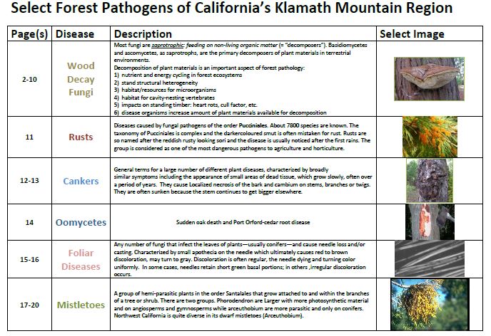
Select Forest Pathogens of California’s Klamath Mountains
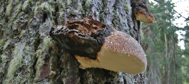
Forest Pathogens often go unnoticed while exploring, but offer an exceptional window into the intricacies of forest ecology when better understood. I created the free document linked below in 2011 while in Grad School at Humboldt State. Forest Pathology was one of the more interesting classes I took while turning Conifer Country into my thesis for a Master’s Degree in Biology. Most of the information for this document was taken from Terry Henkel’s lecture notes as well as from internet and book sources–all cited within the document. I was recently reminded of this creation because of the October weather that has dropped unprecedented amounts of rain and nurtured fungal growth across Northwest California.
Free PDF Download

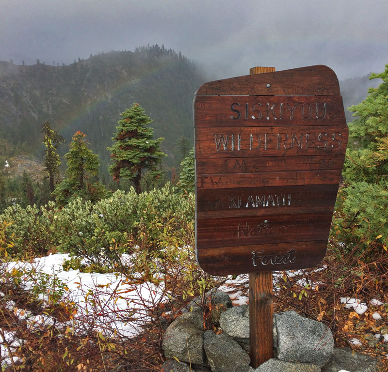
Bear Peak Botanical Area
Citizen Science in the Siskiyous
 I recently started a citizen science project with 5 classes of high school biology students from Fortuna, California. The plan is to combine their observation skills with the technology offered by iNaturalist. Each month they will visit Rohner Park and record data on a chosen spot in the forest–looking for plants and animals as well as changes in canopy and ground cover. As they become more proficient in species ID, students will also upload observations to our iNatural Project ultimately creating a field guide to their local forest. We all know how much I like field guides…
My plan, over future visits to wilderness areas, is to start similar citizen science projects. The first attempt at this wide-ranging project began this week on a visit to the Bear Peak Botanical Area on the Klamath National Forest. I originally wrote about this area in my book Conifer Country because it is unique in many ways, including the populations of yellow-cedar found here. This species in common further north, but quite rare in California.