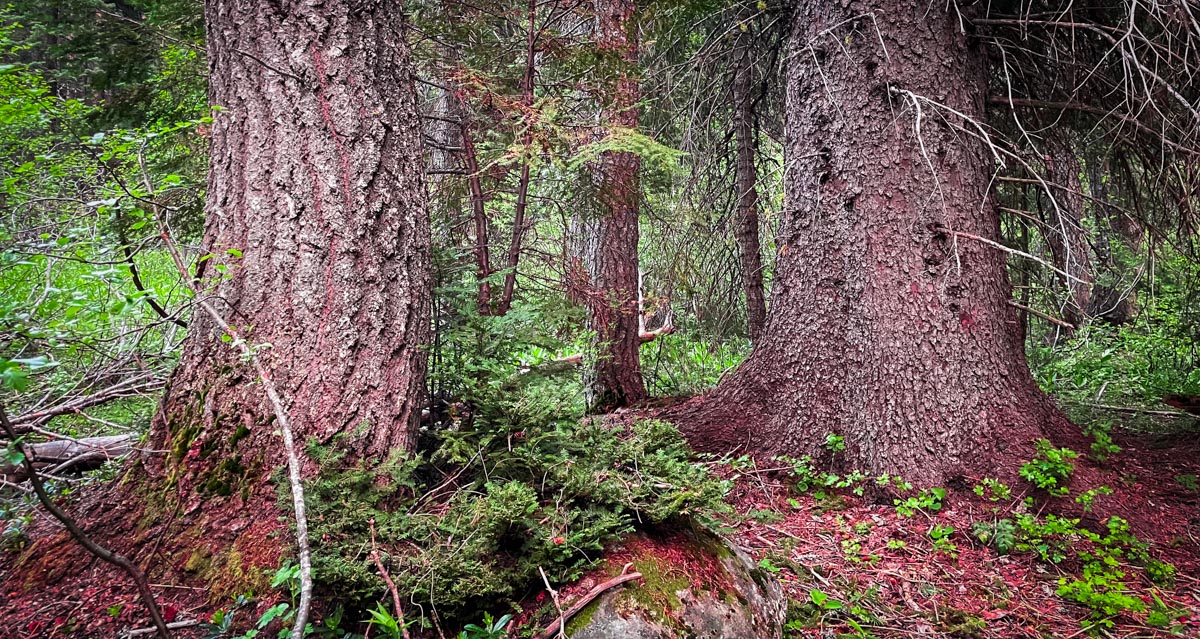
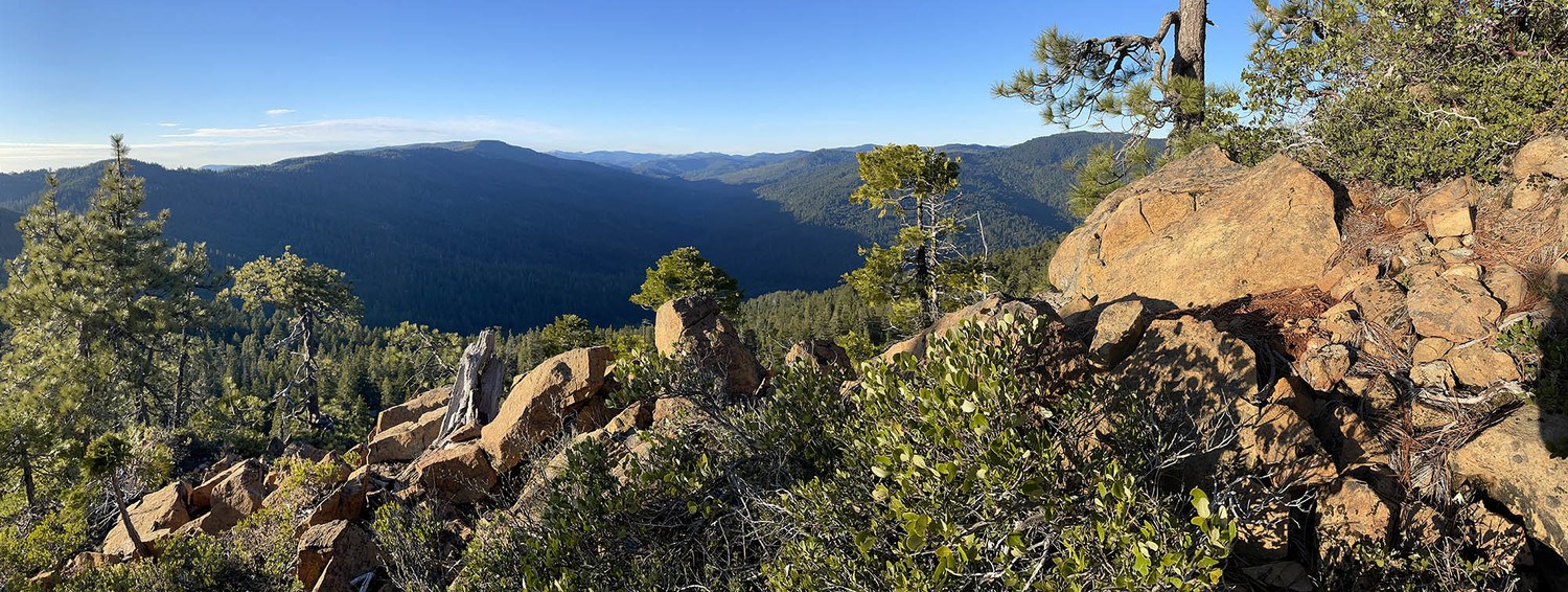
I am slowly learning about some of the shortfalls my training as a western scientist has had on my ability to interpret vegetation communities of the Klamath Mountains. What I am learning, that was never properly taught in my schooling, is that everything we see today in the Klamath Mountains was affected, to some degree, by long-term human habitation over the past ~9,000 years. For example, up north in British Columbia’s coastal temperate rainforest Fisher et al. (2019) found that the plant communities around village sites had different plant assemblages than control sites and were dominated by plants with higher nutrient requirements and a cultural significance. Consider this next time you look at an oak woodland on a river bench
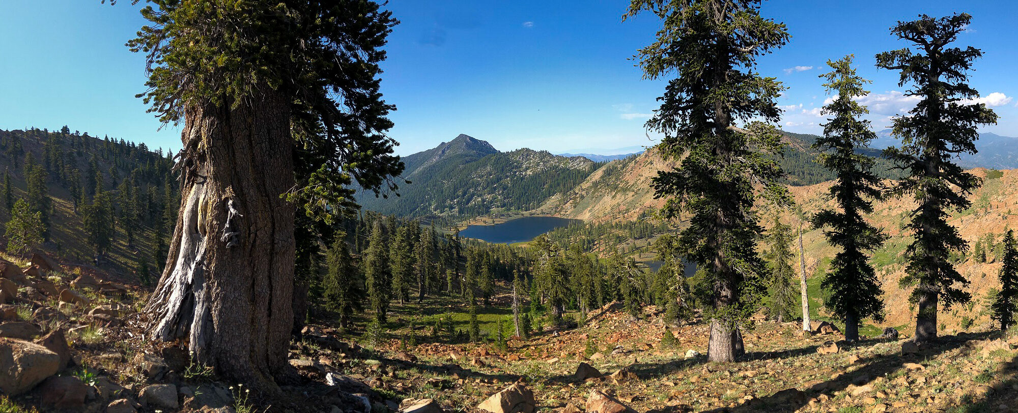
Another major misconception taught in western science is the description of the assumed wild and wilderness as absent of human impact–when this is far from the truth. Much of what we have designated as wilderness was sculpted by Native People’s stewardship. For example, numerous travel routes were maintained for securing basketry, medicine, food resources, or reaching ceremonial sites (see map below).
Continue reading “Relearning the Southern Siskiyous”