Part 1: The Siskiyou Crest
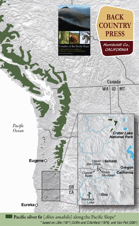
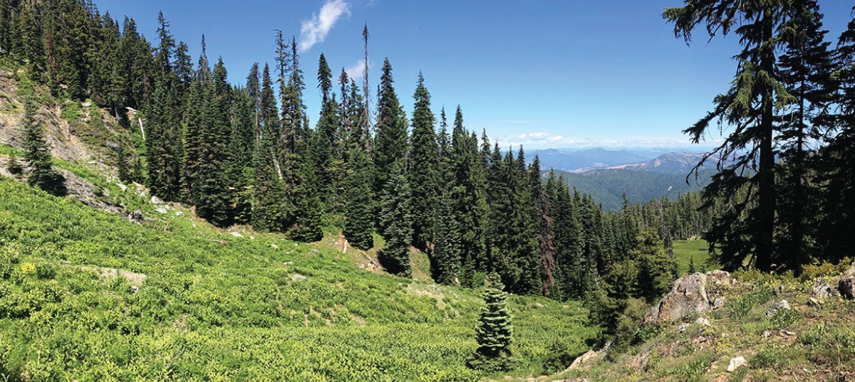
In conjunction with the Klamath National Forest and the California Native Plant Society Vegetation Team, I began a mapping and inventory project for Pacific silver fir (Abies amabilis) in California. The first part of this project was along the Siskiyou Crest, near the Oregon-California border. Later this summer I will visit the other population in the Marble Mountain Wilderness.
Pacific silver fir in California can easily be overlooked because of its similarity to white fir (Abies concolor). Upon close inspection (and by going to specific locations) the differences will become apparent. Silver fir is identifiable in the hand because it has the most distinct and exuberant stomatal bloom of any regional tree. Like grand fir (and regionally white fir) the tips of the needles are notched. The needles splay from the branch on only one side often in a perfect arrays, fanning out in a semi-circular manner. The needles occasionally twist in this array, thus offering distinct silver flashes of the stomatal bloom on the undersides—a brilliant contrast to the dark-green upper surfaces. This is also what sets it apart from white fir, with a duller stomatal bloom. As with other Abies, the smell of crushed needles emits a resinous “pine scent.” The bark is distinct, forming long, narrow, rectangular blocking patterns that seem to melt off the trunks in silvery chunks with subtle reddish hues in the furrows. At a distance, larger trees are gradually tapered, similar to Shasta fir (Abies magnifica var. shastensis). It is an inimitable and rare experience to spend time with this beauty in the Klamath Mountains
Continue reading “Pacific Silver Fir in California”