I recently came upon resource created in 1907 during a trans-Klamath adventure to explore the region and document its plants. Willis Jepson’s Siskiyou Expedition began in Yreka on July 1st and ended back in Etna on July 25th. Over that time the expedition team traveled from the eastern Klamath to the coast—and back again—using a combination of routes including poorly developed roads, the Kelsey Trail, river corridors, and portage boats guided by Karuk men. I encourage you to read more of Jepson’s journal and his colorful descriptions of the plants and places along the way. The journal offers an ecologist’s view, 110 years back, to a northwest California vastly different than today.
“Whether old or young, sheltered or exposed to the wildest of gales, this tree is ever found irrepressibly and extravagantly picturesque and offers a richer and more varied series of forms to the artist than any other conifer I know of.”
−John Muir
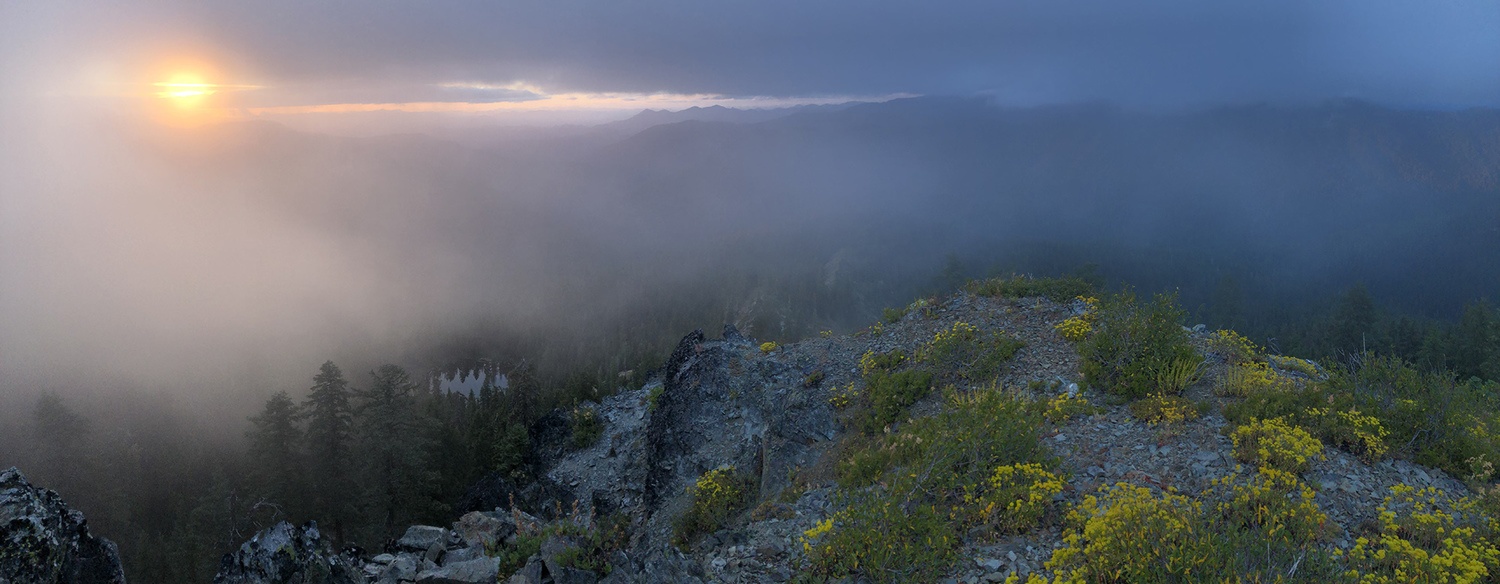
Epic grove of Klamath foxtail pines above East Boulder Lake.
The following excerpt is from my book Conifer Country. I was inspired to publish it here after a recent trip with my son to visit and measure the Klamath Mountain champion foxtail pine. After this trip, the foxtail pine is his favorite tree species too 🙂
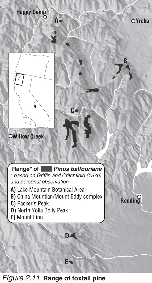
Klamath foxtail pine range map from Conifer Country.
California’s endemic foxtail pines have established two esoteric populations abscinded by nearly 500 miles of rolling mountains and deep valleys. The species was first described by John Jeffrey near Mount Shasta in 1852 , which was most likely a population near Mount Eddy or in the Scott Mountains. Later, this species was discovered in the high elevations (9,000’-12,000’) of the southern Sierra Nevada. The ecological context of Klamath foxtail pines in the Klamath Mountains differs drastically from that in the Sierra Nevada due to the divergence of these populations in the mid-Pleistocene. Though separated over one million years ago, both subspecies exhibit a radiance and individuality for which I honor them as my favorite conifer.
With separation in space and time, divergence—including cone orientation, seed character, crown form, foliage, and even chemistry—has occurred between the two subspecies. Another reason for these variations are genetic bottlenecks that have been promulgated by spatially restricted microsite adaptations, particularly in the Klamath Mountains . Northern foxtail pines (var. balfouriana) are isolated on sky islands—local mountain tops and ridgelines—from 6,500’ to 9,000’ in the eastern half of the Klamath Mountains. By my count there are 16 isolated sub-populations each consisting of one to several isolated mountain-top populations, except in the Trinity Alps where they are locally common in the more contiguous high elevations. On these sites, proper geologic, topographic, and climatic conditions have offered synergistic alliances with shade-tolerant and faster-growing firs and hemlocks.
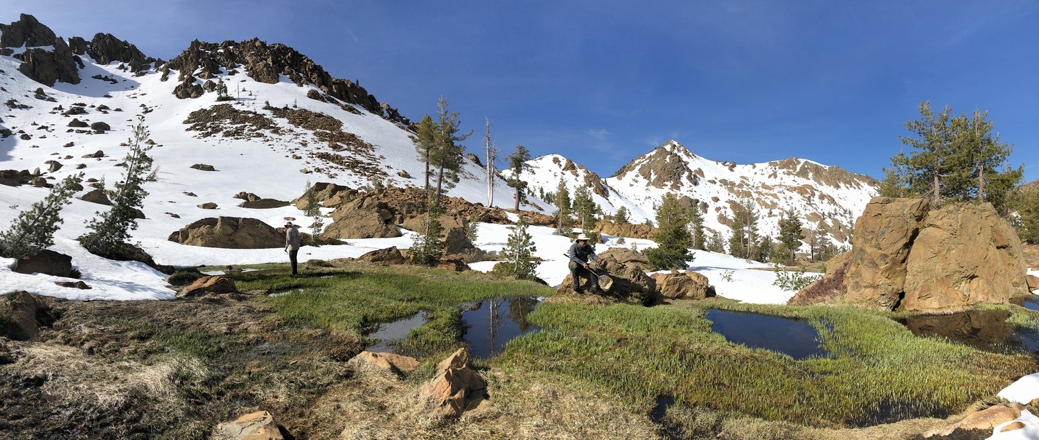
The slow movement of water through a fen builds, over long periods of time, to the formation of peatlands. The formation of peatlands requires a combination of processes that most commonly occur in flat areas in both tropical and boreal regions. Because of variable topography, geology, and even water chemistry in the mountains, peatlands are generally rare.
In temperate mountains, rare peatlands form over mellennia if perennial soil saturation, low mineral soil deposition, erosion rates, and net storage of soil carbon resulting from plant productivity complement each other perfectly. In arctic and alpine environments, the formation of peat is often associated with peat moss (Sphagnum spp.). In the temperate regions peatlands are usually dominated and formed by sedges (Carex spp.).
I have been fascinated for a long time with the conifers of the Klamath Mountains. While there are many places across the region that have a high density of conifer species, one of the hotspots is in the Russian Wilderness in an area known as the Miracle Mile. It has a long, storied history of discovery, research, conservation, and recreation.
If you visit, tread lightly and leave no trace. Day hiking is the best way to see it and preserve the unique natural features of the area. What follows is a summary of my presentation during the COVID-19 pandemic.
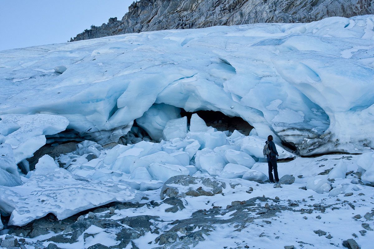
I learned about this project in 2014 and have been following it closely ever since. In late April, 2020 my friends Justin Garwood, Ken Lindke, and Mike Van Hattem (with other co-authors) published the first definitive paper on glaciers in the Klamath Mountains. While the news is bleak, their diligent research documents the changes in the Klamath for hundreds of years through the eyes of the highest peaks and watersheds in the range. Please enjoy the summary that follows.